
Paper maps and atlases may be more than just backups to digital navigation tools:
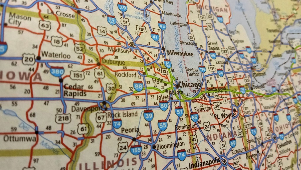
Apps are invaluable when you miss your exit on the interstate or need the quickest route through gridlock. But dispensing directions in 10-mile increments on a tiny screen is not the same as spreading a U.S. map out and visualizing a journey.
Everyone has a “mental map … made up of both factual information about a place and also our own understanding and imagination about the place,” Maitha said. Paper maps help build that mental map and provide spatial awareness, he explained.
All of these options are aids to help humans. With a paper map or Waze, the external object is helping a person make sense of the physical world around them. Our brains could use the help as we get our bearings.
My sense is that the digital devices are very helpful in immediate information – what is the next step I take? – but not so great in providing the big picture. You can see a list of turns or a broad map. But, their primary value is right in front of the vehicle. The paper atlas or road map provides the big picture while not saying as much about what is right outside the vehicle.
Just recently, I spent some time examining a 1718 map of North America made by a French cartographer. In working on some research involving these areas, the paper map provided a sense of how the French viewed this part of the world. It does not provide granular detail but it hints at what they thought was important.
Like some of the people interviewed in this article, I will keep both my atlas and my devices with me while driving. Until the device can unfold a larger image of the full scope of a journey, I want that option and will continue to enjoy maps and atlases.
