Numerous American communities held parades for July 4th. These parades are full of cars and motorized vehicles: they tow floats, they accompany walkers, and cars and vehicles (old and new) are on display.
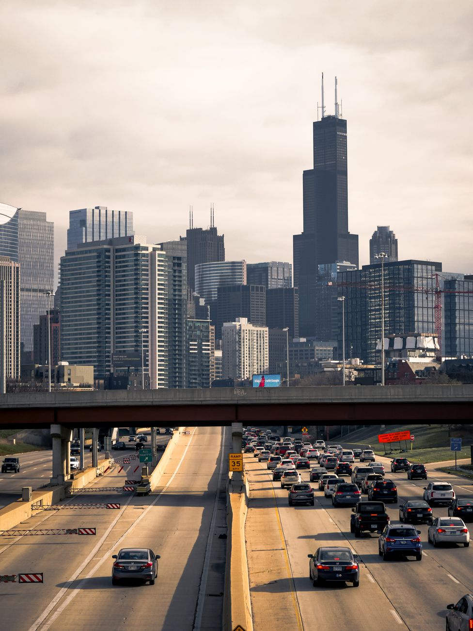
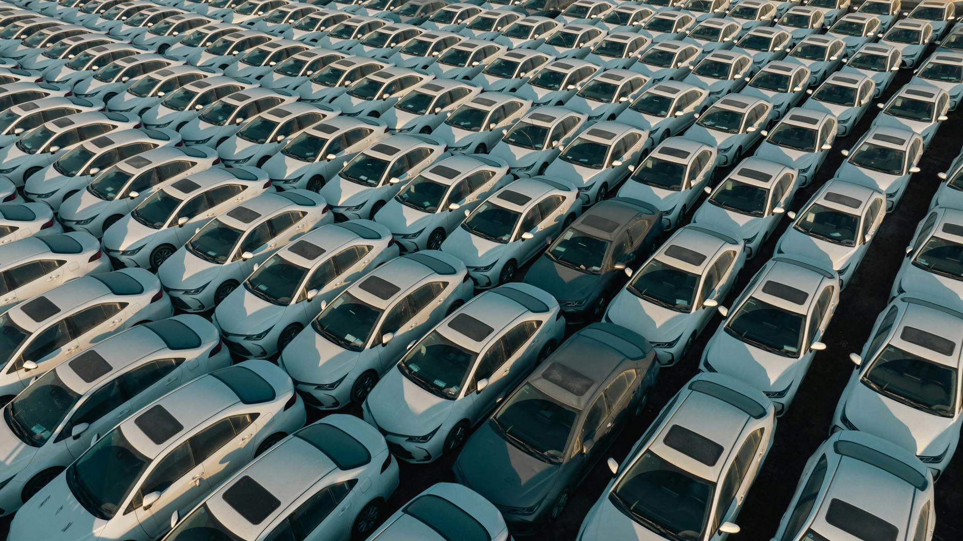
Cars have dominated the American landscape for roughly a century. Before this, the United States had roads and animals and people could carry things along those roads. Parades happened prior to cars but it is hard to imagine parades today without motorized vehicles traveling the route. Yes, there are people involved that attendees may want to see but driving is essential to make the parade happen.
Take a recent parade I participated in. Most of the members of the group walked. We carried a banner in the front with the name of our organization and members of the group walked behind it. But we also had a truck with this that included large signs about the organizations, supplies, and a few people.
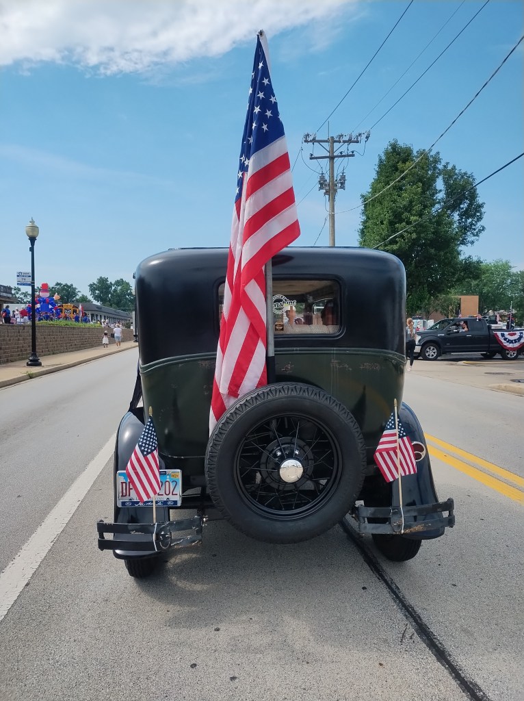
There were multiple vehicles in front of us in the parade. July 4th parades often feature local emergency vehicles; in our case, big fire trucks honked their way along. As shown above, there was a group with antique cars and trucks. Behind us, several sports cars inched forward, revving their engines while traveling at 3 mph. The vehicles themselves may symbolize American freedoms.
Or I recall the 2016 parade for the World Series winning Chicago Cubs. That event brought millions to Chicago. Could the players have walked through the city streets instead of taking a series of busses along the route? (Such busses are a common approach for championship parades.)
Marches and parades without vehicles can still happen. But in a country full of driving, cars and vehicles are part of and enable many processions.