A new study finds American cities are sinking:
The new research, published in the scientific journal Nature Cities, built on previous work using satellite measurements to paint a detailed picture of rising and falling land. It also closely examined the connection between changes in land elevation and changes in groundwater, using data from individual monitoring wells.
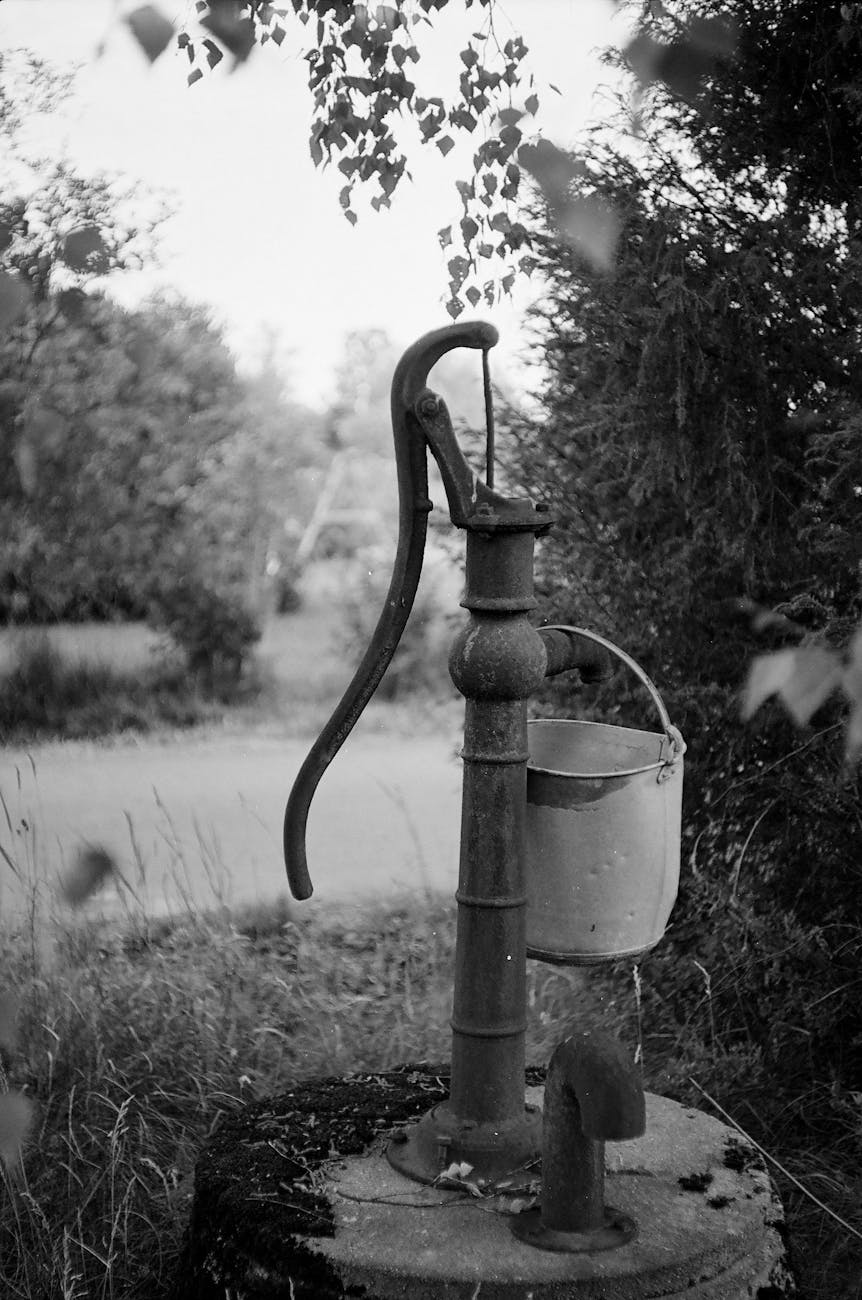
Water pumped from wells isn’t something that people think about often. “You just turn on your tap, do what you need to do, and you go on your way,” said Leonard Ohenhen, a researcher at Columbia University’s Lamont-Doherty Earth Observatory and lead author of the study.
But extracting more water than can be replenished “can have a direct relationship with what happens on the surface,” he said. “You can cause the ground to sink significantly.”…
Other factors also influence land elevation. For example, a vast expanse of bedrock beneath parts of the country, pressed downward by enormous glaciers during the last ice age, is slowly rebounding back into place. But over time it creates a sort of see-saw effect that today is adding 1 to 2 millimeters per year to subsidence rates in much of the northern United States.
If pumping water from directly underground leads to this issue, what could happen next? Here are a few ideas that come to mind:
- Getting water from further away. At least then if it is pumped out of the ground it does not affect cities and metropolitan regions – the issue is pushed off elsewhere.
- Somehow pumping something back into the ground to refill what was depleted.
- Factoring in sinking ground at initial construction. This would lead to boosting the elevation of new sites in anticipation of what might happen in the future.
Or not much might happen until one city experiences dire effects from this sinking. Imagine a whole neighborhood or an important development sinks to a point where the land becomes unusable. Would that prompt urgent action?