
It is one thing to hold a paper map or look at a map in a book; it is another to encounter a map in the ground. In a recent trip to Holland, Michigan, I enjoyed seeing this map in the ground of a park overlooking Lake Michigan:

While the installation highlights the location of Holland, it also shows the size of Lake Michigan, one of the biggest freshwater lakes in the world.
Here is another in-ground map, this time just southwest of the main library in downtown Naperville, Illinois:
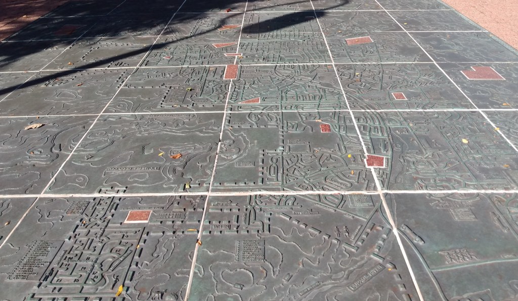
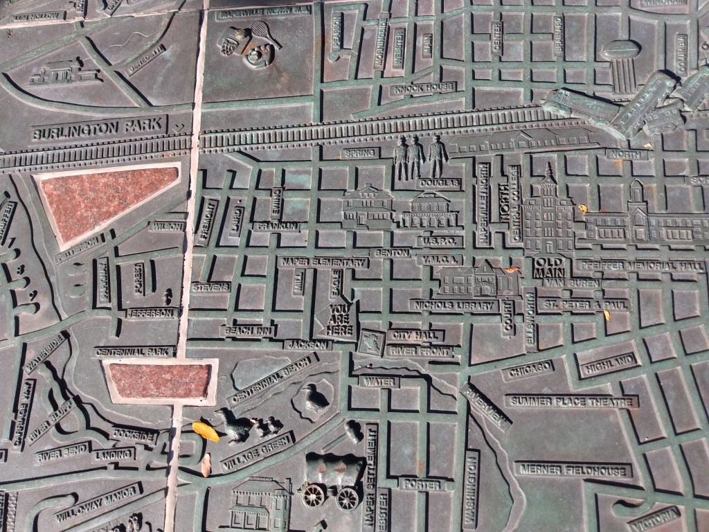
The large map hints at the sprawling nature of the suburb while you can also see some of the details the community feels are important (see some of them in the close-up image of the downtown).
A third in-ground map that made a memorable impression of me as a kid was the Mississippi River installation on Mud Island in Memphis, Tennessee. To walk the vast length of the river, see important points along the way, and even play in the water was much fun.
To make the abstract map more concrete provides an opportunity to share places with a broad range of people passing by and help them better visualize the whole and its parts.

Pingback: River deltas in miniature, sandy form | Legally Sociable