Turning landfills in the suburbs into desirable locations

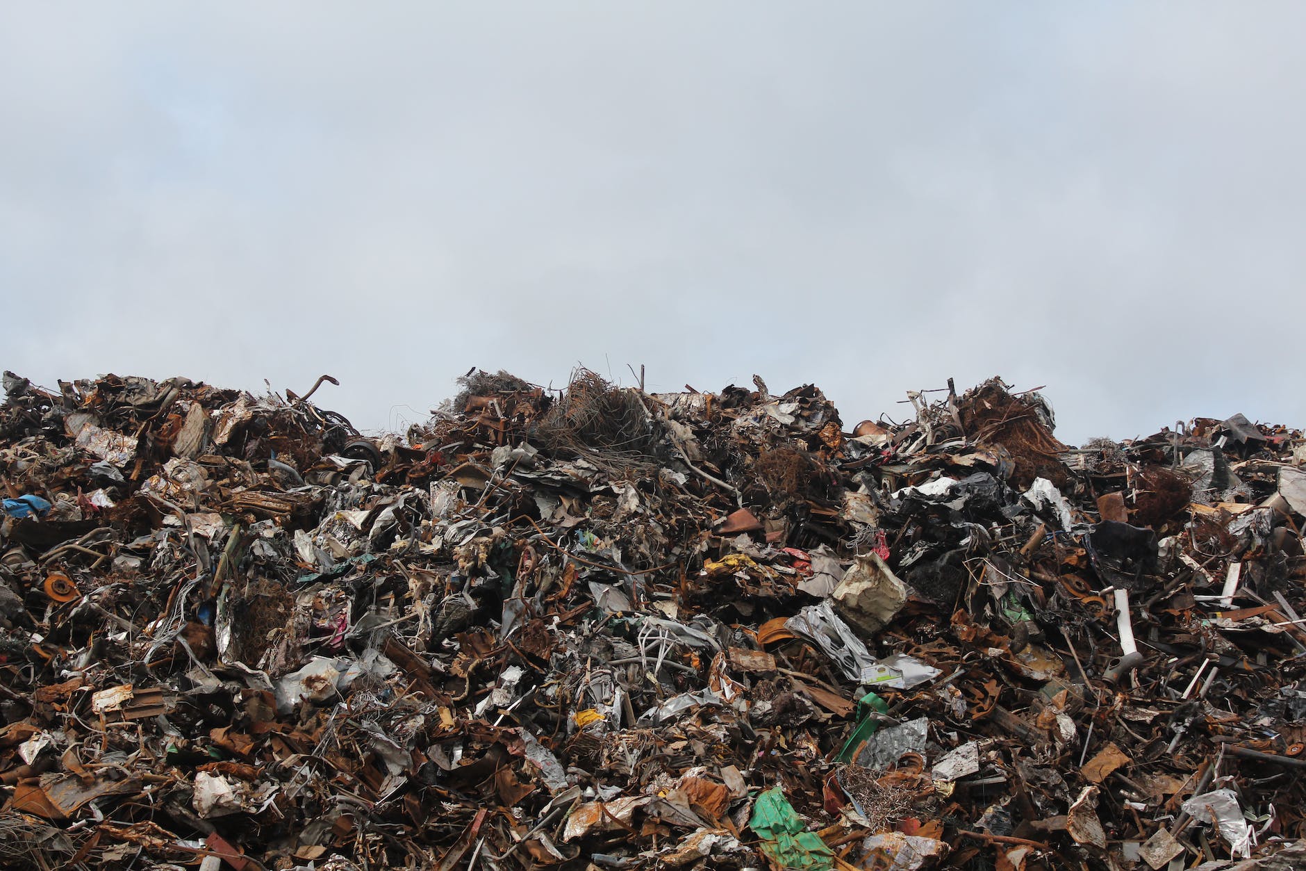
In numerous locations in DuPage County, former garbage dumps have been turned into something else:

Photo by Emmet on Pexels.com

When well-taken-care-of, closed landfills can have multiple uses. They can generate renewable natural gas, host solar panels and even provide valuable natural habitat.

Atop the district’s Greene Valley landfill, for instance, a thriving prairie is home to seven state endangered birds, one state threatened bird and even a gas-to-electric power plant.

At Mallard North landfill, a grove of 8,500 trees treat contaminated rainwater — also known as leachate — while providing sanctuary to local birds and other wildlife…

“The landfills are here forever, and they’re always going to need special care,” said Jessica Ortega, the district manager of strategic plans and initiatives. “It’s unavoidable that landfills are going to continue to emit greenhouse gasses, therefore it’s important to explore opportunities to implement strategies to minimize and reduce greenhouse gas emissions from landfills and to care for the sites as naturalized areas.”

What were once landfills at the edges of the metropolitan region are now firmly integrated into a Forest Preserve system. Bonus: they are some of the highest hills around.

I bet there are some interesting stories that could be told here. Who lived next to these landfills decades ago? What were the obstacles to converting these to other uses? What are these sites expected to look like in 50 or 100 years?

“A Century of American Garbage” mapped

A map visualization of American landfills shows their spread and growth:

Widely considered to be the first sanitary landfill in the U.S., the Fresno garbage dump, which opened in 1937, has the dubious distinction of being named to both the U.S. National Register of Historic Places and the nation’s list of Superfund sites. That’s a funny pair of categories to straddle, but it illustrates an important point: Trash is a starring character in the American story, even as we continue to wrestle with its consequences…

The map really starts to blaze toward the middle of the century. That’s when landfills started to proliferate around the U.S., thanks in part to the Solid Waste Disposal Act of 1965, which created a federal office tasked with managing trash. By the mid-1970s, states were mandated to put some regulations in place. Landfills became more numerous, and they got larger, too. On the map, the larger circles denote more sprawling landfills. The largest dumps approach 1,620 acres.

At the end of the visualization, the landfill map looks similar to a population map. Most of the landfills are located near major cities. This makes sense: you don’t want big landfills in population centers but you don’t want to pay too much to send it far away.

Yet, I imagine this view at the national level obscures where exactly these landfills are located. If I was guessing, I would say the majority of landfills are located in two locations:

(1) the former edges of metropolitan regions – a landfill that opened in the 1950s might have been outside the suburban radius then but now is well within the boundaries of the metropolitan area

(2) the current edges of metropolitan regions – somewhere in the exurbs or within  an hour drive of the boundaries

NIMBY means that landfills in recent decades could probably get nowhere close to residential developments.