New data from 2025 suggests O’Hare Airport is again the busiest airport in the country:

Preliminary federal data posted Tuesday shows 857,392 flights occurred at O’Hare in 2025 compared with archrival Hartsfield-Jackson Atlanta International Airport’s 807,625 operations…
The last time O’Hare came first was in 2019. Since then, Hartsfield-Jackson led the pack.
Why did this happen?
“O’Hare is America’s hottest connecting hub right now due to concurrent expansion by American and United, plus new international flying.”
Why might it matter?
“It was a blow to our reputation as the country’s premier transportation hub when O’Hare lost this distinction,” Schwieterman noted.
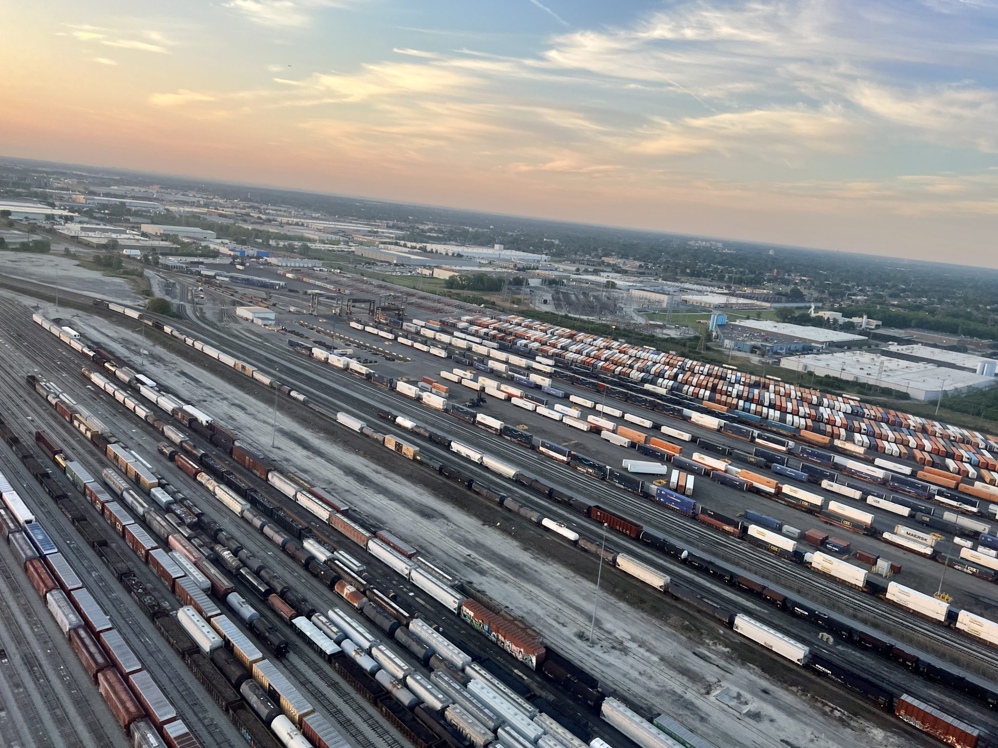
What does it take for a city to be considered a transportation hub? Here are some factors that might fit. Multiple modes of transportation. An advantageous location. Some recognizable transportation centers. And lots of people and goods moving into and out of a city and region.
Chicago fits that bill without necessarily having the busiest airport. From its beginning it has been a railroad and waterways hub and then added roads and airports.
Does the busiest airport help? Probably because then the city can claim to be #1 and people tend to remember what is at the top of the list rather who is in third or fifth place.
This could also be a situation where losing the #1 busiest airport ranking would go without comment while reaching the top spot is worth celebrating and noting. What leader wants to be responsible in a drop in status?
It is also interesting to consider how the busyness of airport data lines up with the satisfaction of passengers and airlines using those airports. Should a city aim for busy airports or well-liked airports?