There is a category of places that we know but we do not know. In the United States where driving is a daily part of life, people regularly pass through neighborhoods, communities, and places in which they rarely or never stop. It is just along the way. The driver is just driving through. What do we know about such places? A few thoughts, with the example of Gary, Indiana in mind as I have driven back and forth past Gary many times (and only stopped there a few times).
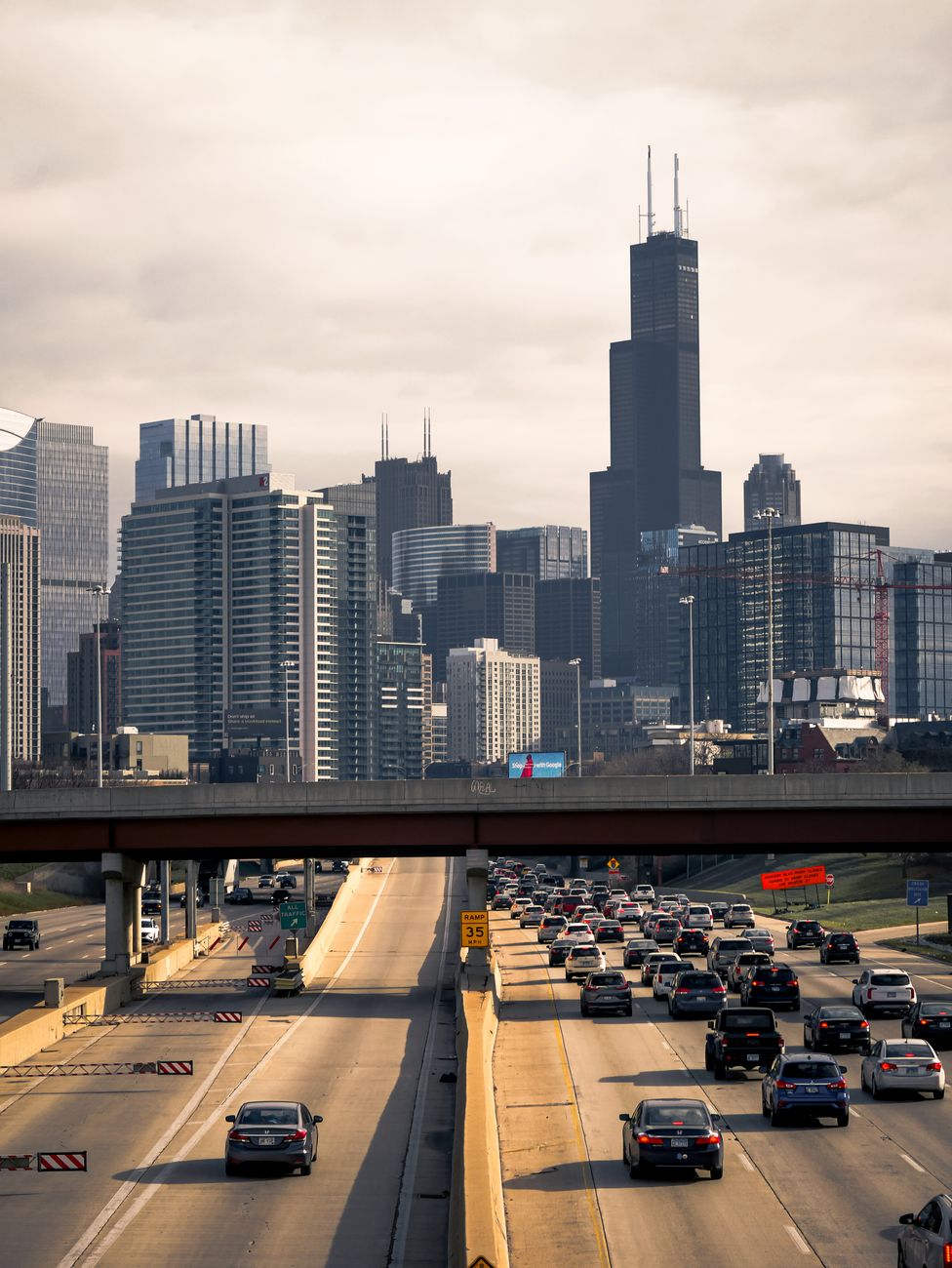
- We are limited to what we can see from a moving vehicle. Yet, we can see some things while driving by, even at fast highway speeds. We tend to see what is along major roads, which can include road signs, billboards, big box stores, exits and intersections, some smaller commercial and residential properties. Some of the signs and properties try to get our attention, often to tell us about a brand, product, place, or attraction. This might tell us about the biggest things to see and do. Passing by Gary via highway, I can see a minor league baseball stadium, steel mills, and some bigger downtown buildings. I can see highway exits and the kinds of establishments that gather there. I see signs for an airport and a few other things to do.
- We hear or tell stories about these places. I have read about Gary, heard about Gary, talked about Gary. Some themes: created out of sand dunes as an industrial suburb, steel mills, the home of the Jacksons, decline and white flight, limited development and reinvestment, and new ideas for revitalization. As I drive by, how does what I see contribute to or refute those stories? How much am I fitting what I see to a narrative I already have?
- The few stops I have made are different than just driving by. Setting foot in a community, driving at slower speeds and maybe walking around, provides a different experience. So does talking to people or taking a tour. It helps to slow down, get to a pedestrian level, and have time to observe and interact. (See earlier posts about how to know a suburb or community – first steps, deeper steps.)
I could come up with a list of many other communities where the same is true: I have driven through it or passed by it and know relatively little about it. And if we tend to emphasize getting to our destination rather than seeing what is on the way on the journey, we could go through or by places hundreds or thousands of times. Highways do not facilitate getting to know places; this seems to be part of the argument about what happens to Radiator Springs in the Pixar film Cars. Trains may offer different views (and maybe some more stops) at similar speeds while airplanes allow people to just hop even faster over places without even seeing them.
There are ways this could be addressed. Could we get more information about places as we pass them? This is hard to do on road signs. How about voice explanations in maps or GPS systems? How about using the voices of local residents to describe their community and tell stories of what has happened?