
While recently working on a research project, I found 1930s pictures of the place where my in-laws live. Later the home to a master-planned suburban community, the picture presents quite an alternative vision:
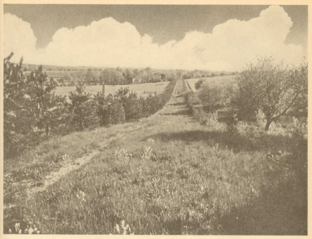
Having such images could help give current suburbanites a better sense of what came before their home as well as some insight into how their home fits into an altered landscape. There would be some continuity between then and now – similar natural elements including wildlife, foliage, and topography – and notable differences such as the presence of modern roads and buildings.
Tracking down these images is often not easy. Many communities have historical societies or museums that keep such images. To see them, a community member or researcher would have to go ask for them. (And there is no guarantee they have pictures of every property; they are likely to have pictures of the more famous buildings in town.) Searching online can reveal some old maps and images of places but much of the material of local historical groups is not kept online.
