
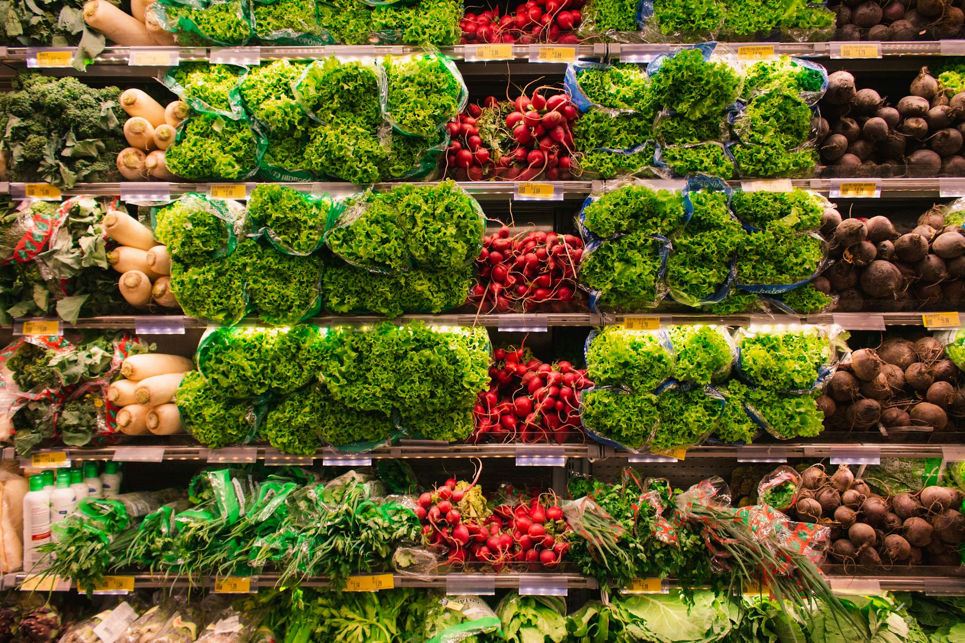
If you’re shopping for bananas in NorCal, you’d likely head over to the nearest Safeway. But if you travel south of King City in Monterey County, that familiar chain is no longer an option — but the inside of Vons, found throughout SoCal, will feel eerily familiar. No matter where you are, there’s a clap of thunder before the produce aisle endures a quick “rainstorm.”
That’s because the stores are owned by the same company and have been since 1997. After decades of competition, Safeway acquired Vons and eventually the stores had the same bright interior, wide aisles and even the same loyalty numbers. They’ve even adopted the same color red for their logo. Some Californians may not even realize they’re both owned by the same company and yet, they’ll still have a preference for one or the other.
“It’s a common industrywide practice to keep the brand name that locals are familiar with in their region. There is a sense of pride among shoppers when they shop at their local supermarket,” Safeway spokesperson Wendy Gutshall told SFGATE.
Not all might agree with this:
Plenty of Californians would be offended by this discussion altogether, with no murmur of the very real Central California designation thrown in.
Where one neighborhood ends and the next begins or where a region stops and another begins can be contentious. How many names and areas should there be/ Which trait or pattern to consider? What if public opinion is mixed or divided?
Sometimes there are official or authoritative designations that can help. If the Census Bureau says your state is in the Midwest even though might consider themselves to live in another region, that is an authoritative voice. Or if online maps start labeling a neighborhood by a particular name, this reinforces that name.
What is interesting here is that this designation involves one major grocery company that has locations of two of its brands to geographic areas that do not overlap. What would happen if Albertsons started a Safeway in San Diego or a Vons in San Jose? Would people refuse to go there? Would expats from the other region flock to a more familiar store? There are other grocery stores – such as Walmart or Costco – that span both regions.
