Geology and a favorable location for humans in Concord, MA

Why did Concord, Massachusetts, become the site of an opening battle in the American Revolution and later become identified with the transcendentalists? It was a favorable spot for human settlement:

Photo by Phil Evenden on Pexels.com

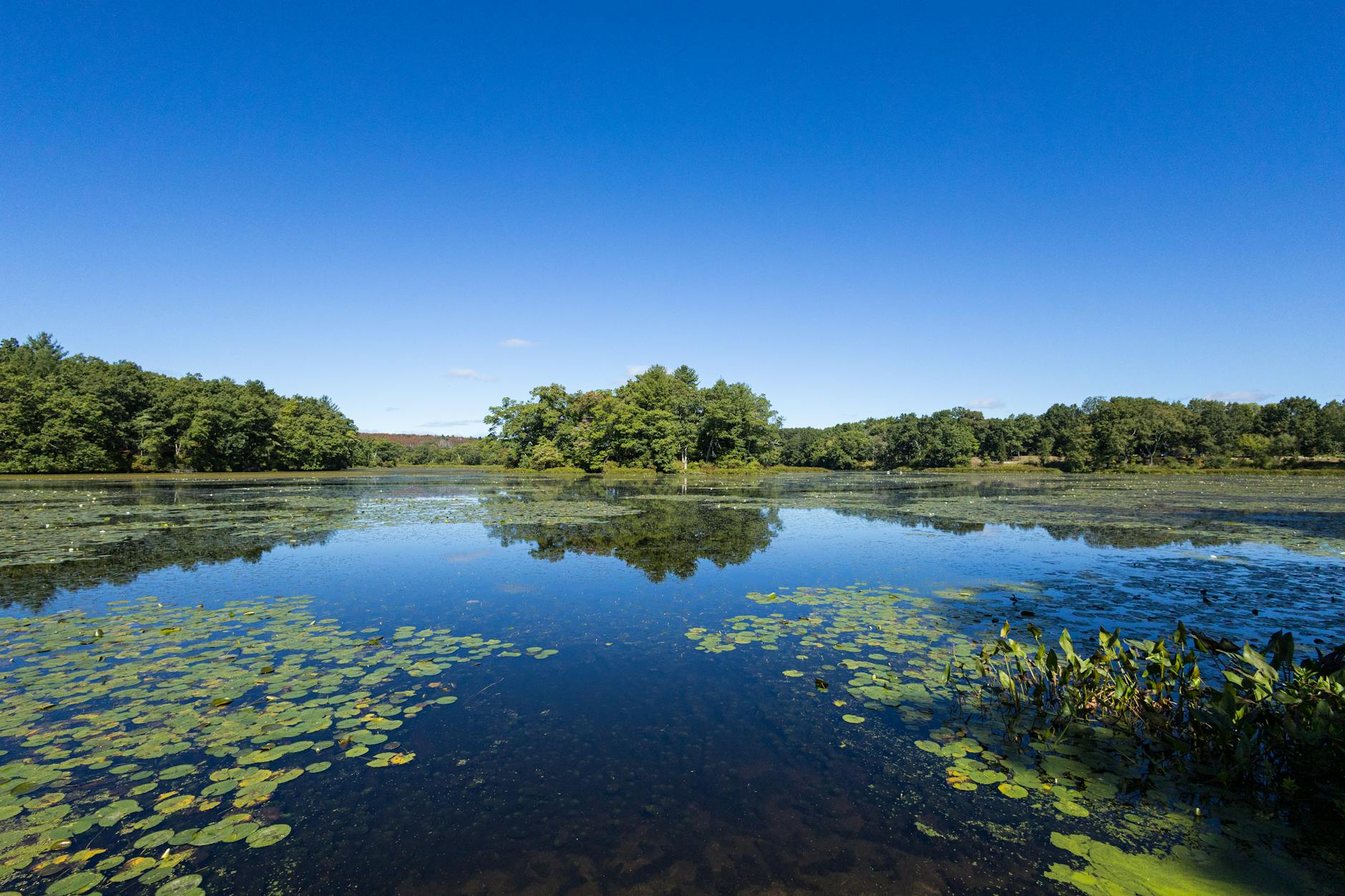
The Concord River runs north, rather than southeasterly down the regional slope toward the sea. When the edge of the great ice sheet began to retreat from the area about 17,000 years ago, the Concord River was dammed up by the ice to create a ribbon-shaped glacial lake with a muddy bottom. Eventually the lake drained away, allowing the Concord River to cut an inner valley beneath a moist and fertile lowland.

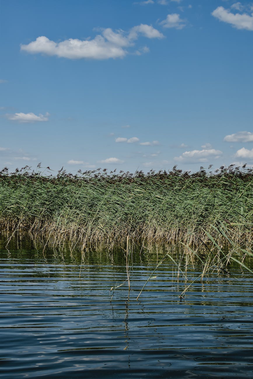
This process set the stage for the creation of what the Indigenous Massachusett, Nipmuc, and Pawtucket peoples called Musketaquid, meaning “grass-ground river,” a marsh about 20 miles long and so flat and so uninterrupted that Thoreau skated the entire round-trip distance one freezing day—January 31, 1855. The languid stream passed through broad meadows to create a northern version of the Everglades (without the alligators). Nathaniel Hawthorne lived along the bank for three weeks before he discerned which way the river flowed.

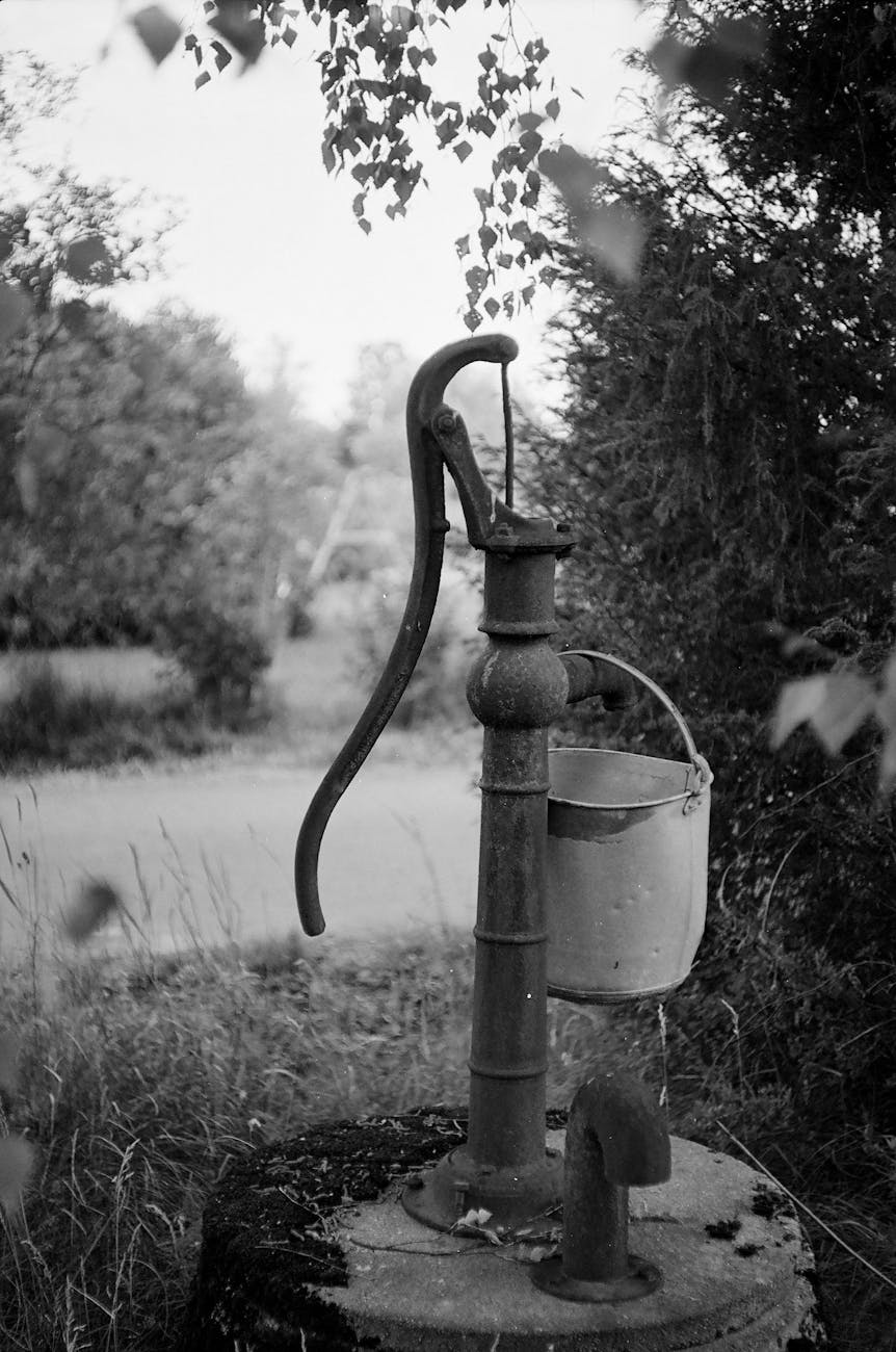
This riparian ecology attracted colonists: Concord became the first English town in North America above tidewater, beyond the sight and scent of the sea. Here the lush growth of freshwater hay would undergird a system of English husbandry dependent on livestock. Here migrating shad, herring, and salmon thrived in the aquatic richness, furnishing plentiful protein sources, vitamins, and minerals. Here the firm, muddy banks made an ideal habitat for the freshwater mussels on which other animals depended: muskrat, otters, turtles, human beings. On July 3, 1852, Thoreau estimated that more than 16,335 freshwater clams lay along 330 feet of the riverbank. Migrating waterfowl followed the meadows. Songbirds nested along their edges…

The physical separation between Boston and Concord involves more than the linear distance between two points. The population centers occupy different watersheds—the Charles River watershed to the east and the Concord River watershed to the west. In fact, they lie on different bedrock terranes that originated in different places in different eras. The terrane boundary coincides with the Bloody Bluff fault, named for a rocky notch where British troops were trapped by ferocious provincial fire. Here the land leans toward the security of the sea. To the west, it leans toward a hinterland where pioneering residents looked to one another for community support. Without the Lexington Road and its regular stagecoach traffic, 18th-century Concord would have remained an agricultural village. Instead, it became a prominent node in an expanding trade network. The significance of the watershed divide between country and city diminished only after the Fitchburg Railroad reached Concord in 1844.

I cannot remember who said it but I recall a quote where someone says if someone wanted to start a great city today, it would be really hard because all of the good locations have been taken. The geology and ecology of Concord made it good spot for humans to settle.

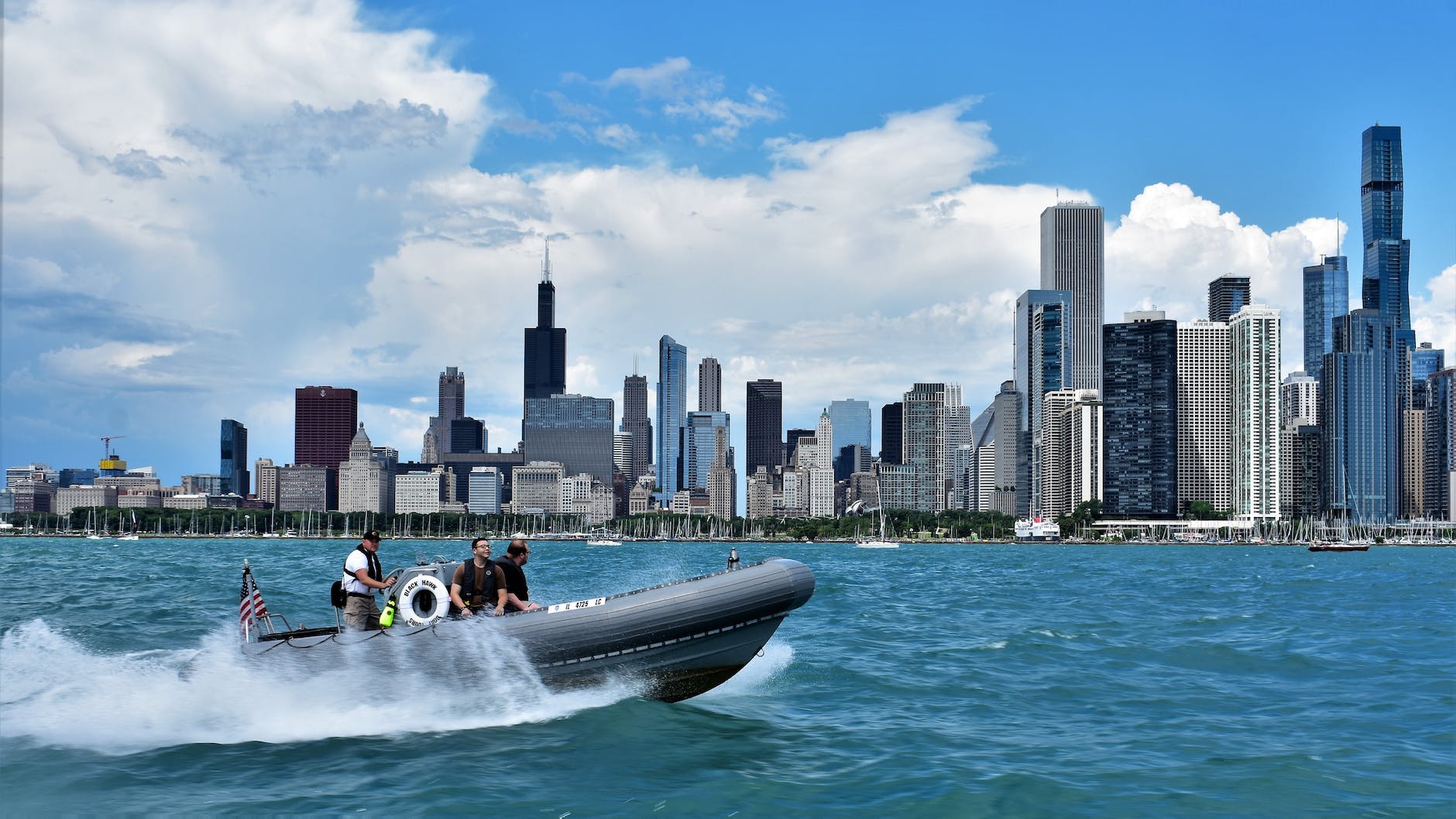
To take into account the geography and ecology of land and places will continue to be important, even in an era when it is easy to ignore the physical features of places. In the world of Internet and airplanes, everything seems accessible from anywhere. But this is not true: certain places have particular advantages with access to water, protected settings, mineral resources, land for farming and livestock, good spots along trade routes, and more. Some of this can shift over time; does it matter as much today as it did in the past that Chicago was a key portage location between the Great Lakes and the Mississippi River watershed? And this could change in the future: particular locations might have new advantages in the future as the earth and societies around the world change.

The amount of water Americans use to water lawns

In this season of growing and mowing lawns, the EPA has a number regarding the amount of water Americans use to water their lawn:

Photo by Jonathan Cooper on Pexels.com

The average American family uses 320 gallons of water per day, about 30 percent of which is devoted to outdoor uses. More than half of that outdoor water is used for watering lawns and gardens. Nationwide, landscape irrigation is estimated to account for nearly one-third of all residential water use, totaling nearly 9 billion gallons per day.

The American lawn is alive and well – in part because of all this water. To get the lawn Americans typically want, green, well-manicured, and free of weeds, much is required. And without watering, it might not even get off the ground. Some parts of the country have regular rain that can support this kind of grass. But, it may not meet the standards of Americans and other areas do not have this rainfall. I, too, have had the experience of flying over the West and then seeing Las Vegas emerge with its telltale green lawns.

The American lawn is also alive and well because of expectations and values attached to this lawn. It signifies success and middle-class suburbia. Yes, it requires water. But if the water supply was severely diminished, would the lawns necessarily disappear? Or would people adjust their behavior to make sure the lawns remain in some smaller or similar form? Just how much water would Americans be willing to devote to green lawns?

Pumping water from the ground leads to sinking American cities

A new study finds American cities are sinking:

Photo by Alexander Zvir on Pexels.com

The new research, published in the scientific journal Nature Cities, built on previous work using satellite measurements to paint a detailed picture of rising and falling land. It also closely examined the connection between changes in land elevation and changes in groundwater, using data from individual monitoring wells.

Water pumped from wells isn’t something that people think about often. “You just turn on your tap, do what you need to do, and you go on your way,” said Leonard Ohenhen, a researcher at Columbia University’s Lamont-Doherty Earth Observatory and lead author of the study.

But extracting more water than can be replenished “can have a direct relationship with what happens on the surface,” he said. “You can cause the ground to sink significantly.”…

Other factors also influence land elevation. For example, a vast expanse of bedrock beneath parts of the country, pressed downward by enormous glaciers during the last ice age, is slowly rebounding back into place. But over time it creates a sort of see-saw effect that today is adding 1 to 2 millimeters per year to subsidence rates in much of the northern United States.

If pumping water from directly underground leads to this issue, what could happen next? Here are a few ideas that come to mind:

  1. Getting water from further away. At least then if it is pumped out of the ground it does not affect cities and metropolitan regions – the issue is pushed off elsewhere.
  2. Somehow pumping something back into the ground to refill what was depleted.
  3. Factoring in sinking ground at initial construction. This would lead to boosting the elevation of new sites in anticipation of what might happen in the future.

Or not much might happen until one city experiences dire effects from this sinking. Imagine a whole neighborhood or an important development sinks to a point where the land becomes unusable. Would that prompt urgent action?

A burst suburban water main can cause a lot of damage

Infrastructure might not be a popular topic but when something that works every day suddenly does not work, numerous lives can be disrupted. See this example from suburban Skokie:

Photo by Darya Grey_Owl on Pexels.com

Skokie residents are trying to recover from the huge water main break Feb. 14 that sent icy floodwater into nearby basements, blocked streets, prompted a boil water order for the population of 65,000 lasting nearly three days, shut down Westfield Old Orchard Shopping Center, forced Skokie Hospital to transfer trauma surgery patients and surgeons, closed most businesses, shut schools and barred restaurants’ doors on Valentine’s Day…

Though flooding problems were contained in a residential area of northeastern Skokie, locally known as Skevanston, and the northwestern portion of Evanston, a lack of clean water impacted businesses, homes, and institutions throughout Skokie. Village officials said they are preparing, at their Feb. 18 Village Board meeting, to declare a state of emergency, a necessary step before applying for federal and state disaster funds…

According to a news release from the village, the water main break was caused by a failed fitting cap installed in 1963. The part has an expected lifespan of between 80 and 100 years.

Neighbors in the vicinity of Prairie and Emerson told Pioneer Press that the village conducted emergency repairs in the same area the night before the main burst, which made some skeptical of the cause of the break.

Water is basic for everyday life. And not just any water; clean water that flows continuously. Suburbanites might not think much of these water flow on a daily basis but this broken water main disrupted residential, business, medical, and school activity. Streets and buildings were flooded. Regular suburban life was put on hold.

Skokie could be one of many suburbs across the United States that face similar issues. Skokie boomed in population after World War Two, going from just over 7,000 residents in 1940 to over 59,000 in 1960. All of this growth required infrastructure. The particular water main in question had a cap from 1963. Even with an expected life of 80 to 100 years, that cap is over 60 years old. At some point, those pipes will need to be replaced. What will that cost and how easily will it be accomplished? Regular maintenance can help address these issues but bigger replacement projects are sometimes necessary.

If all goes well, suburbs like Skokie will not experience events like these that lead to declaring a state of emergency and the infrastructure that supports suburban life will be regularly maintained so that suburban life can go on.

The endless search for water in the (fictionalized) origin story of Los Angeles

The movie Chinatown highlights the ways acquiring water helped Los Angeles grow and hints at what may need to happen for the city and region to keep growing:

Photo by Soly Moses on Pexels.com

If Chinatown’s ending forces the audience to sit in a feeling of hopelessness, it should also disturb anyone invested in Los Angeles’s future. The history of water in 20th-century California was defined by mammoth feats of engineering and an enduring belief that someone like Mulholland would eventually come along and enable the impossible. Each new dam or aqueduct only guaranteed the arrival of the next one—the population growth allowed by Mulholland’s aqueduct, for example, later resulted in L.A. tapping other water sources, such as the Colorado River. California has had a few good years of rain recently, but the long-term sustainability of the state’s water supply depends on collective conservation efforts: drastically reducing the amount of water used by Big Agriculture, moderating suburban tasks such as watering lawns, regulating the state’s groundwater.

“There is no more water to capture with big projects. There just isn’t. The future is really about much smarter water management,” Stephanie Pincetl, a UCLA professor who specializes in urban policy and the environment, told me. Conservation measures, she argues, are the way forward even if politicians wish they could stump for some grand technological innovation the way their 20th-century predecessors did: “The approach to the 21st century has to be a lot more subtle, a lot more place-based, and a lot more guided by the realization that water is a scarce resource, and so we need to treat it like a scarce resource.”

Finding water in Los Angeles, the Southwest, the West, and the United States more broadly may become more paramount in the coming decades. Which cities and regions would do well in competing for water? Would a lack of water in some places lead to growing populations in places with plenty of water?

While we are at it, why not tell more exciting stories in these categories:

  1. Origin stories of modern places. Take any of the big cities in the United States and put its origin story in a movie or a miniseries. How about the rise of Phoenix?
  2. It would be interesting to popularize more stories about water and other necessary resources in daily life. How about a thrilling tale about concrete? It is hard to imagine modern life without out. Or air conditioning. Can’t have a lot of the global development of the last century without it. Or salt. Where do we get all this salt in our daily lives from?

If Chinatown can entertain and inform about place, why not engage in more storytelling that explains where places have come from and where they might be going?

“Phoenix is a guide to our future”

A new cover story in The Atlantic looks at Phoenix, Arizona and considers what the United States is and what it could be:

NASA Satellite Captures Super Bowl Cities – Phoenix [annotated] by NASA Goddard Photo and Video is licensed under CC-BY 2.0

The Valley is one of the fastest-growing regions in America, where a developer decided to put a city of the future on a piece of virgin desert miles from anything. At night, from the air, the Phoenix metroplex looks like a glittering alien craft that has landed where the Earth is flat and wide enough to host it. The street grids and subdivisions spreading across retired farmland end only when they’re stopped by the borders of a tribal reservation or the dark folds of mountains, some of them surrounded on all sides by sprawl.

Phoenix makes you keenly aware of human artifice—its ingenuity and its fragility. The American lust for new things and new ideas, good and bad ones, is most palpable here in the West, but the dynamo that generates all the microchip factories and battery plants and downtown high-rises and master-planned suburbs runs so high that it suggests its own oblivion. New Yorkers and Chicagoans don’t wonder how long their cities will go on existing, but in Phoenix in August, when the heat has broken 110 degrees for a month straight, the desert golf courses and urban freeways give this civilization an air of impermanence, like a mirage composed of sheer hubris, and a surprising number of inhabitants begin to brood on its disappearance.

Growth keeps coming at a furious pace, despite decades of drought, and despite political extremism that makes every election a crisis threatening violence. Democracy is also a fragile artifice. It depends less on tradition and law than on the shifting contents of individual skulls—belief, virtue, restraint. Its durability under natural and human stress is being put to an intense test in the Valley. And because a vision of vanishing now haunts the whole country, Phoenix is a guide to our future.

Several thoughts in response:

  1. How many Americans know Phoenix is the fifth-largest city in the country – growing from over 106,000 residents in 1950 to over 1.6 million today – and the tenth-largest metropolitan area?
  2. Like many American communities, Phoenix and the region depends on growth. More residents, more business activity, more infrastructure. What happens to Phoenix when/if growth slows? How would a mature region in 50 or 100 years look similar or different?
  3. The environment plays a role in Phoenix and the region. At the same time, Phoenix expanded at a particular point in American history, later than many big cities. How do these two factors intersect?
  4. How would urban sociologists think about Phoenix compared to other American cities and region? Is it more unusual or does it follow similar patterns to other sprawling regions? What marks Phoenix as unique? Do the same social, political, and economic factors propel the region or is there something different going on?

When major water pipes break in a major American city

Water is generally taken for granted in American cities and metropolitan areas. So when major pipes break in Atlanta, it has major ramifications:

Photo by Nithin PA on Pexels.com

Atlanta’s Department of Watershed Management announced water service would be halted at 5 p.m. Friday in much of Atlanta, including all of downtown, so crews can work to repair breaks on a 48-inch and 36-inch transmission line “that carries large volumes of water to the metropolitan area.”

Just after 2 p.m., the Watershed Management Department issued a boil water advisory “out of an abundance of caution.” The advisory affects any Atlanta water customers who have experienced a water outage or low water pressure. The order was still in place on Sunday afternoon, even though repairs were completed on the major break near Joseph E. Boone Boulevard. Other repairs were continuing.

More details on water main breaks and pipes in Atlanta:

The problems began Friday morning where three large water mains intersect just west of downtown. Wiggins said at a Saturday news conference that at least some of the pipes that burst were old and corroded. With pipes coming together in a confined area, it was a tight squeeze to make repairs, with only one worker at a time working in the manhole accessing the junction. Repairs were completed Saturday evening, officials said.

Another water main later burst in the city’s Midtown neighborhood, which is studded with new office, hotel and apartment towers. Wiggins said Saturday that officials weren’t sure yet why that pipe had broken. That leak continued to gush through the city streets Sunday. City officials said Saturday that they were working on ways to isolate the leak from the larger water system and were awaiting a part needed to repair to the pipe. Dickens declared a state of emergency so the city could buy materials and hire workers without following the normal purchasing laws.

Faltering infrastructure is a common story in older parts of American cities. Atlanta has spent billions in recent years to upgrade its aging sewer and water infrastructure, including a tunnel drilled through 5 miles of rock to provide the city more than 30 days of stored water. Last month, voters approved continuing a 1-cent sales tax to pay for federally mandated sewer upgrades. The city at one time routinely dumped untreated sewage into creeks and the Chattahoochee River.

What are the odds of multiple major breaks in one weekend? Is the best way to address this to completely update the system?

Vital infrastructure is not just built once and then runs forever. It needs to be maintained. Expanding regions and changing conditions may require major updates. Constructing these systems in the first place required a lot of work; keeping these systems fit for the future may require even more.

Some stories in recent years have drawn attention to urban water issues. Water problems in Flint. Lead pipes throughout Chicago. Drought in California. Addressing these issues might not be exciting but it is essential to current residents, let alone visions of a bright future.

I imagine there is some sort of story that already tackles this but what happens in a large city if there is no water for more than a few days. What happens? Who is prepared?

Every major rain provides reminders that Chicago and parts of the region were built on swamps

When a large amount of rain is dumped on the Chicago region in a short amount of time, the infrastructure cannot keep up. The swamps underneath the third largest metropolitan region in the United States continue to influence everyday life:

Photo by Eva Bronzini on Pexels.com

The region’s struggle with chronic flooding begins with its location. Chicago and many of its suburbs were built on swamps, and storm runoff has become more difficult to manage as the region has been paved over.

These swamps had at least one advantage. The area between the Chicago River and the Des Plaines was swampy and this portage helped lead to Chicago’s growth as the Great Lakes and Mississippi could be connected.

But, think of all the effort required initially to drain the swamps or fill them in or build on and near them. Some early settlers built plank roads to try to stay above the mud. Then, there are consequences still today with major rains leading to flooded basements and sewage released into waterways. Planning for dealing with water requires resources and time, ranging from retention ponds to dealing with the effects of new nearby development to cleaning up after floods to building the massive Deep Tunnel project.

The article notes the decades-long efforts to address this. Communities within metropolitan regions might not like to pool resources but this seems like an issue that should bring together everyone to make serious headway on solutions in the next few decades.

Claim: Lake Michigan has so much water that “supply will never be a problem for the [Chicago] region”

Water supplies in the Southwest are limited but Lake Michigan holds a lot of water communities in the Chicago region can access:

Photo by Thomas Shockey on Pexels.com

Lake Michigan holds more than 1 quadrillion gallons of water, so supply will never be a problem for the region.

Should we be so confident about this? Lake Michigan is large and the Great Lakes contain roughly one-fifth of “the world’s supply of surface fresh water.

Sure, the Chicago region has limited population increases. The Midwest at large is not exactly growing like the Sunbelt. But, lots of people and governments rely on this water and climates and ecosystems change.

The context for this quote is a dispute between local governments in the region about obtaining water. Hundreds of millions of dollars, perhaps billions, are on the line. People need water. For now, it is there and it probably will be there for a long time…but it is not guaranteed to be there.

Lack of groundwater means limiting new development in the Phoenix area

The sprawling growth that characterizes Phoenix will have to contend with new regulations tied to groundwater:

Photo by Gabriel Peter on Pexels.com

Arizona officials announced Thursday the state will no longer grant certifications for new developments within the Phoenix area, as groundwater rapidly disappears amid years of water overuse and climate change-driven drought.

A new study showed that the groundwater supporting the Phoenix area likely can’t meet additional development demand in the coming century, officials said at a news conference. Gov. Katie Hobbs and the state’s top water officials outlined the results of the study looking at groundwater demand within the Phoenix metro area, which is regulated by a state law that tries to ensure Arizona’s housing developments, businesses and farms are not using more groundwater than is being replaced.

The study found that around 4% of the area’s demand for groundwater, close to 4.9 million acre-feet, cannot be met over the next 100 years under current conditions – a huge shortage that will have significant implications for housing developments in the coming years in the booming Phoenix metro area, which has led the nation in population growth.

State officials said the announcement wouldn’t impact developments that have already been approved. However, developers that are seeking to build new construction will have to demonstrate they can provide an “assured water supply” for 100 years using water from a source that is not local groundwater.

The sprawl of the United States depends on cheap and abundant water available for the new properties. Phoenix is not alone in pursuing sprawl or in not having to think much about water for a long time.

However, the immediate and long-term future in at least a few metro areas involves a lack of water. This is certainly an issue in the West and Southwest. It could be in play in other regions as well.

Since sprawl is so ingrained in American daily life and in assumptions about successful communities, seeing how developers and communities procure water could get really interesting.