Drivers traveling at night between certain American cities have some new company on the roads:
Autonomous trucks are now driving highways at night, hauling food and dairy between Dallas and Houston…
Aurora’s trucks do have a human behind the wheel, just in case. So do autonomous Kodiak trucks operating on highways from Dallas to Atlanta, Houston and Oklahoma City—some of which drive at night…
Aurora is now testing the system between Phoenix and Fort Worth. The journey takes around 16 hours and typically requires two drivers to complete, with a stop for a handover. Federal law allows long-haul truckers to drive a maximum of 11 hours in a 14-hour period, followed by a mandatory 10-hour break.
There are a lot of potential consequences of this. One I have not seen discussed is what happens to the road trip establishments and culture in the United States. Drive any highway in the United States and they tend to be lined with certain establishments: gas, food, and lodging options, plus tourist sites. Drivers count on these and communities, businesses, and employees benefit from the revenue.
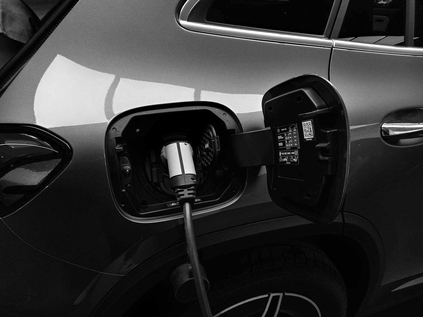
If more vehicles are autonomous, do these roadside features disappear? Or do the people still riding in the vehicles – they may or may not be in trucks, would likely still be in passenger vehicles – still need or want to stop? What if being in a vehicle becomes even more about only what is inside the vehicle; a person enters at the start of the journey, does what they want in the moving room, and only exits at the end? Or perhaps the autonomous vehicle will have to stop to recharge batteries?