The mayor of Naperville thanked the City Council for not supporting a proposal that regional transit authorities could develop land within half a mile of train stations. He explained his opposition this way (via his Scott Wehrli for Naperville Facebook page):

I’m proud of our City Council for standing together in opposition of this legislation that would give transit agencies the power to control development within a half-mile of our train stations—taking that authority away from the local officials you elected.
In Naperville, development decisions should be made by our community, through our City Council, not by transit agencies in Chicago. Local control has always been the foundation of our city’s success, and we’ll continue to protect it.
This is a good example for why I included local control as one of the seven reasons that Americans love suburbs. Suburban residents and leaders want to be able to make decisions about local land and monies as they see fit. They can resent when decision-making involving their land and money takes place elsewhere, particularly if it goes against what the suburban community wants or is perceived to be a threat to an established way of life.
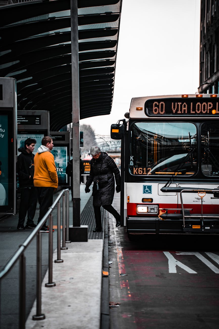
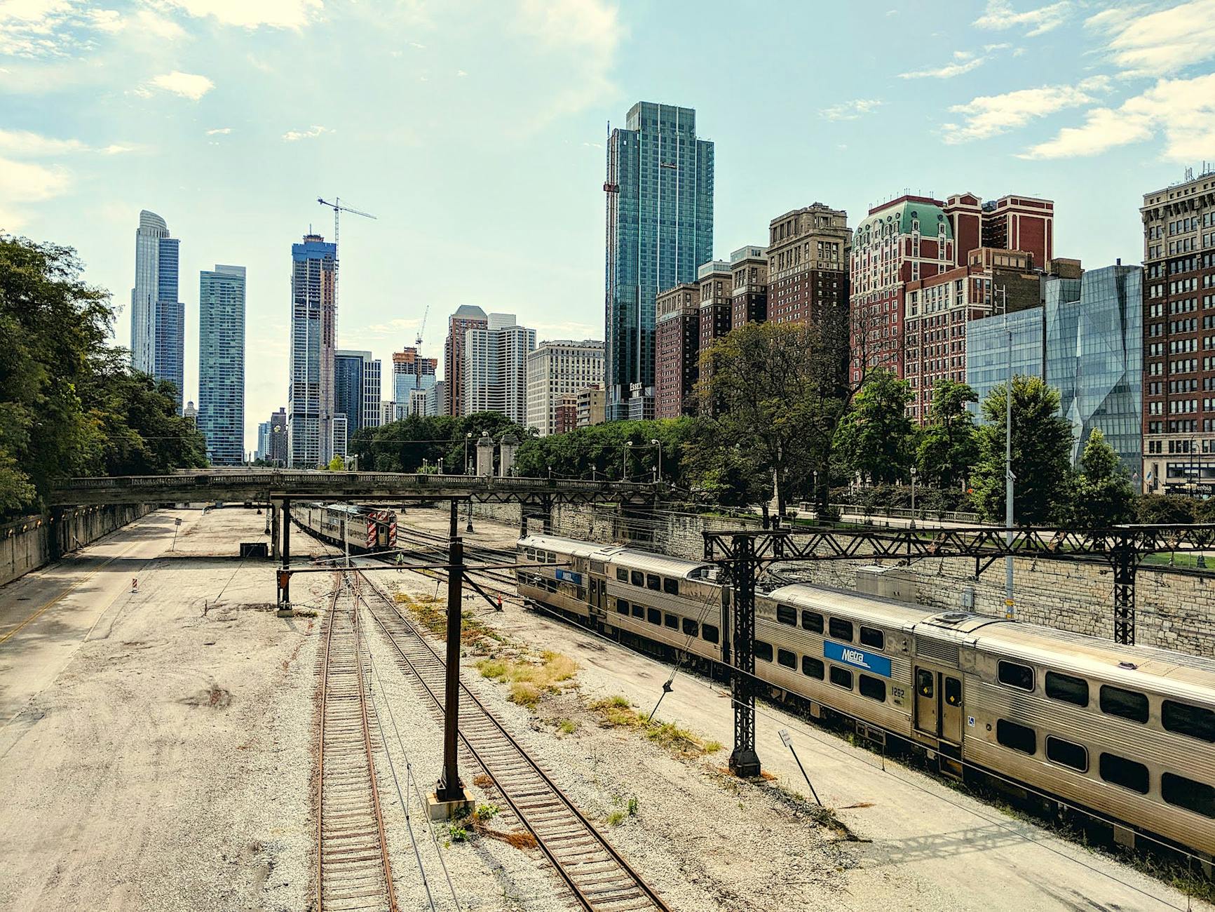
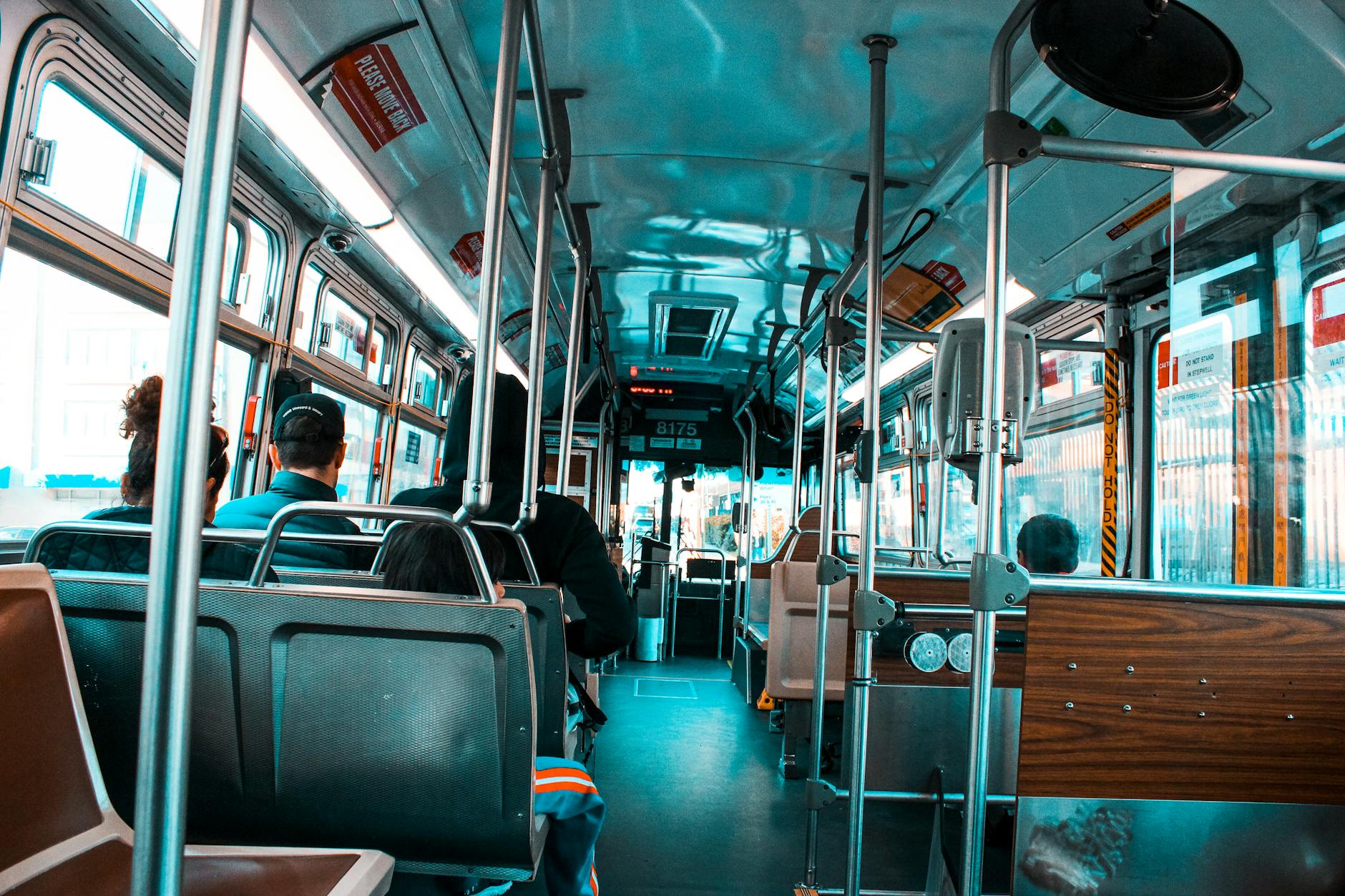
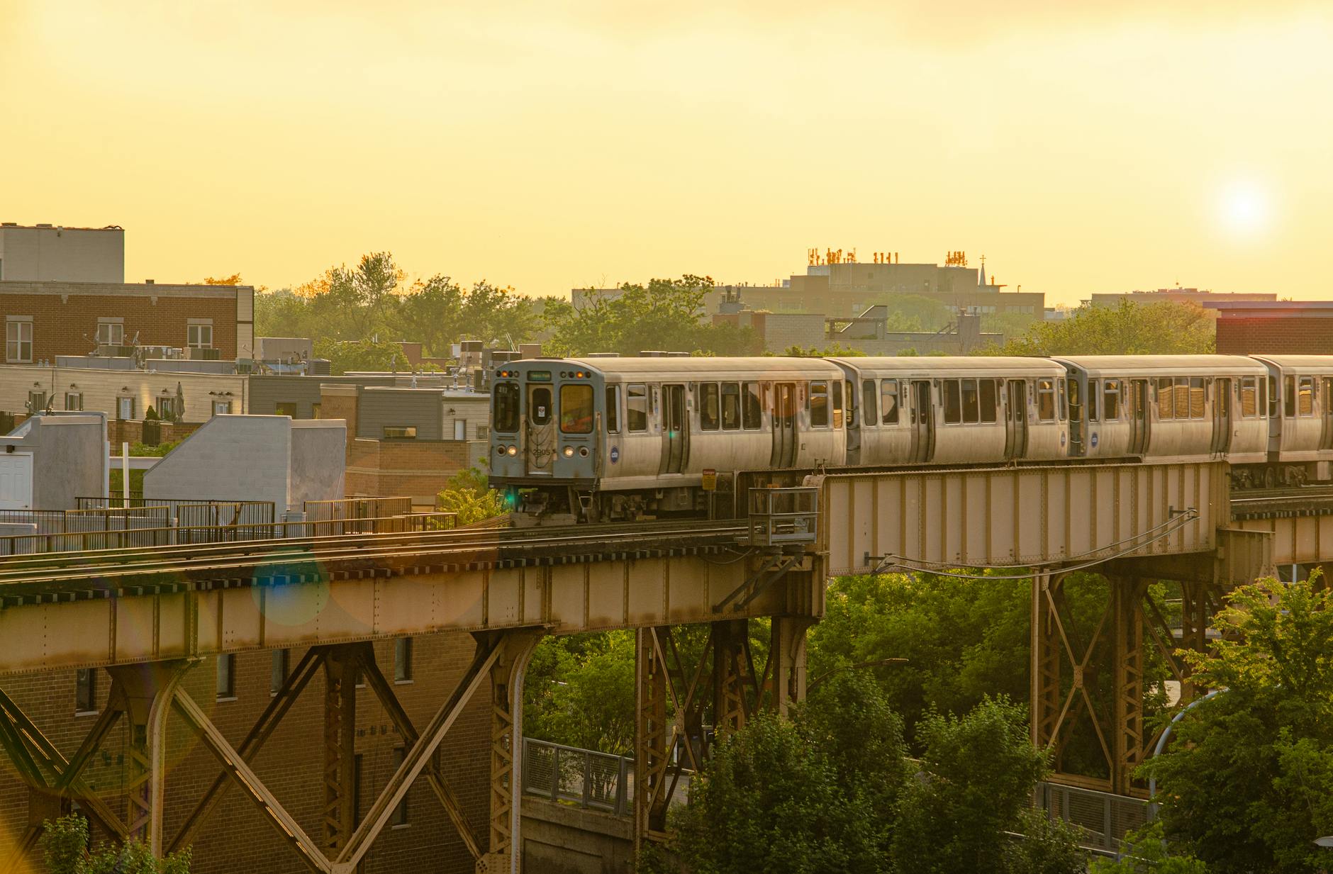
This particular case involves transportation and land development. A popular idea in numerous cities and suburbs is to construct transit-oriented development which often involves higher residential densities adjacent to mass transit stops and a reduced number of parking spaces required. A number of Chicago suburbs have pursued this in recent decades; trains going in and out of Chicago pass apartments and condos in suburban downtowns.
But the key for many of these suburbs is that they made these decisions regarding development around train stations. These conversations often included debate about the size of new buildings and the number of units involved. How tall is too tall for a suburban downtown? How many units will be erected? What is the target population for these new developments?
Leaders and residents in Naperville and suburbs across the United States might pursue denser development near mass transit but they want to make the decision and steer development in ways they feel is consistent with the existing character and footprint of their community.
(I would also argue that local control is closely linked to the other six reasons Americans love suburbs.)