Following (or not) the latest fashionable way to revive urban spaces

Blair Kamin dismisses a proposal to create a High Line like park along LaSalle Street in the Loop in part by appealing to history:

In 1979, as America’s downtowns struggled to meet the challenge of suburban shopping malls, the flavor of the month was the transit mall. Make cities more like suburbs, the thinking went, and they’ll be able to compete. So Chicago cut the number of traffic lanes on State Street from six to two— for buses only — and outfitted the ultrawide sidewalks with trees, flowers and bubble-topped bus shelters…

A recently issued study of the central Loop by commercial real estate brokers Cushman & Wakefield floats the idea of inserting a High Line-inspired elevated walkway through the heart of LaSalle Street. But unlike the High Line or Chicago’s 606 trail, which exude authenticity because they’re built on age-old elevated rail lines, the LaSalle Street walkway would be entirely new — more wanna-be cool than the real thing…

The pathway would combat the perception that LaSalle is a stuffy, “old school” street lined by intimidating temples of finance, the study claims. “With thoughtful modification,” it goes on, “LaSalle Street can become the live-work-play nucleus of the Central Loop.”

Kamin summarizes his proposed strategy:

In short, the way to confront the central Loop’s looming vacancies is to build carefully on existing strengths, rather than reach desperately for a hideous quick fix that would destroy one of the city’s great urban spaces.

A few thoughts in response:

1. Kamin cites two previous fashions – transit malls, linear parks – and cautions against following them. But, certainly there are other fashions from the urban era after World War Two that could be mentioned including: large urban renewal projects (often clearing what were said to be “blighted” or slum areas), removing above ground urban highways (see the Big Dig, San Francisco), mixed-income developments (such as on the site of the former Cabrini-Green high rises), transit-oriented development, waterfront parks, and more. Are all of these just fashions? How would one know? Certainly, it would be difficult for every major city to simply copy a successful change from another city and expect it to work in the same way in a new context. But, when is following the urban fashion advisable?

2. How often does urban development occur gradually and in familiar ways versus more immediate changes or disruptions? My sense is that most cities and neighborhoods experience much more of the first where change slowly accumulates over years and even decades. The buildings along LaSalle Street have changed as has the streetscape. But, the second might be easy to spot if a big change occurs or something happens that causes residents and leaders to notice how much might change. Gentrification could be a good example: communities and neighborhoods experience change over time but one of the concerns about gentrification is about the speed at which new kinds of change is occurring and what this means for long-time residents.

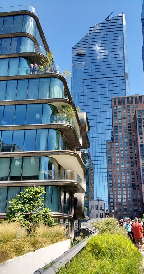
3. As places change, it could be interesting to examine how much places at the edge of change benefit from being the first or in the beginning wave. Take the High Line: a unique project that has brought much attention to New York City and the specific neighborhoods in which the park runs. As cities look to copy the idea, does each replication lose some value? Or, is there a tipping point where too many similar parks saturate the market (and perhaps this would influence tourists differently than residents)? I could also see where other cities might benefit from letting other places try things out and then try to correct the issues. If the High Line leads to more upscale development and inequality, later cities pursuing similar projects can address these issues early on.

SimCity, Jane Jacobs, and real estate values near the High Line

In a recent walk along New York’s High Line, I was reminded of two competing claims about how parks enhance nearby land uses.

In SimCity’s take on urban planning, building a park was a good way to help adjacent properties. If nearby residential and commercial properties suffered from low property values – perhaps due to higher crime rates or locations near industry – building a park could help enhance their values. This seems to make intuitive sense: people like being near greenery and this land use can distract or suppress less desirable land uses.

Jane Jacobs, in contrast, suggests parks are not the automatic panacea some planners suggest. More important than simply having green or recreational space is having a steady mix of people flowing through and around the park. It is human activity that makes the park, not just green space. Indeed, negative activity can thrive and recreational space can easily become part of a dull or blighted area.

HighLineAug19

In a simplistic take, the High Line seems to support both of these views. The conversion of an unused railroad line to a thriving park has enhanced nearby property values. The park is regularly filled with people – from tourists to local walkers to vendors – during much of the day. This is a success story for both the SimCity and Jane Jacobs school of urban planning.

Yet, how exactly such an urban space came about and has both positive (new development!) and negative (those same values limiting who can live nearby!) consequences is more than just plopping a park into an area that could use more development. If it worked this way, every city would have such a successful project.

HighLine2Aug19

In a complex environment like Manhattan where land is highly prized and regulated, putting together such a project takes collective efforts spanning activists, residents, local officials, developers, and others who have an interest in this land and who may have competing interests. Property values may indeed be high and the park full but the long-term effects of this on the neighborhood and the city are harder to assess.

On the failure of the High Line

Even as cities around the world attempt to emulate New York City’s High Line (earlier posts here and here), the creator discusses why he thinks the original failed:

But by one critical metric, it is not. Locals aren’t the ones overloading the park, nor are locals all benefiting from its economic windfall. The High Line is bookended by two large public housing projects; nearly one third of residents in its neighborhood, Chelsea, are people of color. Yet anyone who’s ever strolled among the High Line’s native plants and cold-brew vendors knows its foot traffic is, as a recent City University of New York study found, “overwhelmingly white.” And most visitors are tourists, not locals.

“We were from the community. We wanted to do it for the neighborhood,” says Hammond, who is now the executive director of Friends of the High Line, the nonprofit that funds, maintains, programs, and built the space (New York City owns it, and the parks department helps manage it). “Ultimately, we failed.”…

“Instead of asking what the design should look like, I wish we’d asked, ‘What can we do for you?’” says Hammond. “Because people have bigger problems than design.”

His organization finally did launch a series of “listening sessions” with public housing tenants in 2011. What people really needed were jobs, Hammond says, and a more affordable cost of living. Residents also said they staying away from the High Line for three main reasons: They didn’t feel it was built for them; they didn’t see people who looked like them using it; and they didn’t like the park’s mulch-heavy programming.

While it is easy to link such conversations to gentrification, I think this gets at a deeper issue regarding development in urban areas: who ultimately benefits? The short answer is that it is not typically the lower-income resident. Urban sociologists have made this point for decades; for example, the concept of growth machines suggests development decisions are typically made by political and business leaders who are looking to profit. In other words, developments are judged by how much money can be made (whether through the sale of property or buildings as well as through increased tax revenues) rather than by how many members of the local population experience a better quality of life. Or, see the the sociological study Crisis Cities that shows how money to redevelop lower Manhattan after 9/11 or New Orleans after Hurricane Katrina generally went to wealthier actors and made life difficult for the average resident.

Seoul going for its own High Line: the Skygarden to use an old elevated highway

The High Line concept is spreading around the world: Seoul is now making plans for the Skygarden.

Like the High Line, the Skygarden will make good use of unused infrastructure: the Seoul Station Overpass hasn’t seen traffic since 2009, when it failed a government safety inspection. Unlike the High Line, the Skygarden is part of a more expansive government-led initiative to make Seoul’s built landscape greener and more walkable. “The mayor of Seoul is quite active in establishing an improved architectural climate in the city,” says Winy Maas, MVRDV’s lead on the project. Last fall, Seoul’s mayor, Park Won-soon, hired architect Seung H-Sang to be lead the change as first “city architect,” a job that involves supervising a team of urban planners, researchers, and designers, as well as overseeing public projects like the competition for Skygarden. Construction should begin in October, and the park is expected to be completed in 2017.

MVRDV’s design scales over time, spilling over into other parts of the city. Skygarden will function as a nursery to a bevy of trees that will eventually be transplanted to several rooftop gardens town. The architects plan to build out satellite gardens within a radius of about 800 feet, and then expand another 800 feet about a year later. In total, the pedestrian park will be home to 254 species of flora, which Maas calls “a complete collection of Korean vegetation.” His project will continue the Korean tradition of clipping, cutting, and arranging lush landscapes in precise ways. “It’s a very specific culture that doesn’t exist in other places,” he says.

Reaching the same success of New York’s High Line may not be easy to do. Public spaces or parks don’t automatically become popular just because they have been constructed. The High Line helped revitalize an area but there was already a good amount of foot traffic nearby. As Jane Jacobs would suggest, successful parks require a steady flow of people in and out in order to provide an interesting scene as well as ensure safety. So, in this case in Seoul, the context of this new park matters as well as the fact that it will be an interesting nursery. Are there other nearby uses that help ensure a steady flow of people? Is there land nearby with a mix of uses and/or development potential? Does the fact that this used to be a highway help increase the cool factor (the High Line is fairly narrow but a highway would be wider and could provide for some other uses – plus, removing highways might actually help traffic flow)?

The new High Line extension opens

I thoroughly enjoyed my one visit to the High Line in New York and I look forward to seeing the new section that recently opened:

Officially titled The High Line at the Rail Yards, this is the park’s third section, extending from West 30th to West 34th Streets, bounded by 10th and 12th Avenues on its east and west. With this extension, visitors are now able to explore the former elevated railway-turned-park in its entirety, from its southern end at Gansevoort Street, up to its new northern terminus at 34th Street — an impressive 22 blocks. The 10th Avenue Spur, incorporated into the Hudson Yards mega-development, remains unfinished and will open towards the end of 2015, in tandem with the 52-floor tower that will straddle it.

A few nice pictures here. Also, as this brief description hints, there is some interesting potential for interaction between the new parts of the park and nearby buildings.