An editorial in the Chicago Tribune details some of the issues commuters to Chicago face:
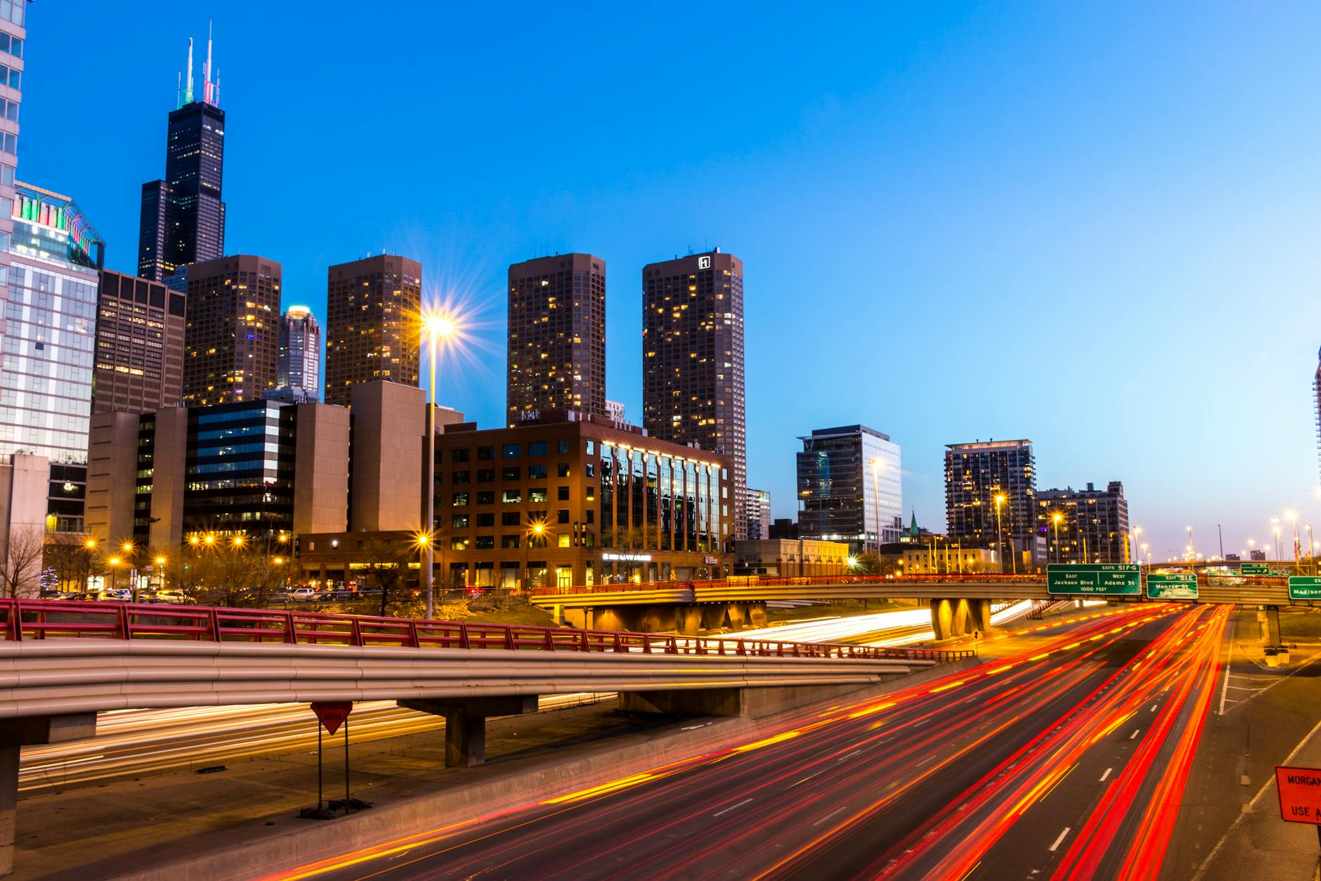
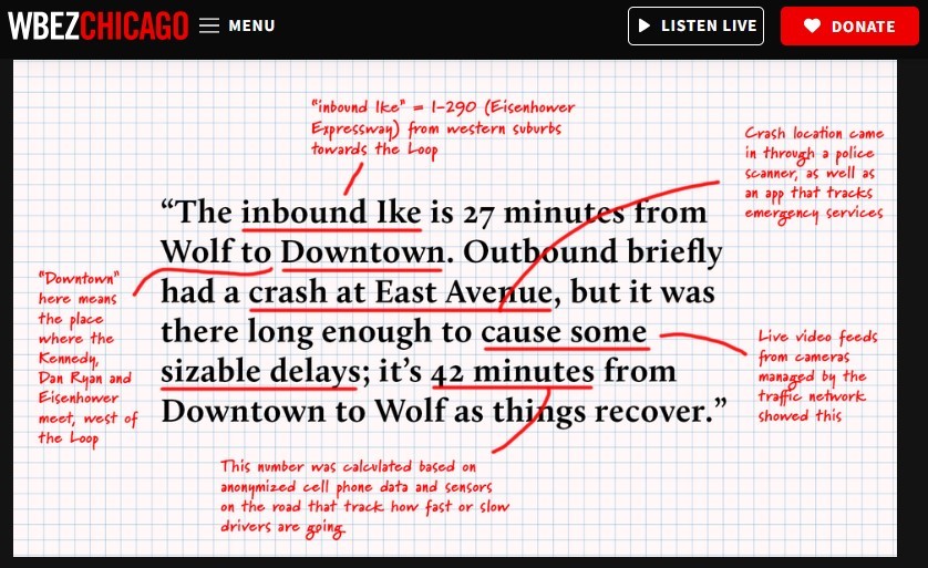
But hope and optimism have their limits, even among the heartiest suburbanite, who likely saw the news about the Kennedy construction delay debacle and felt put upon and frustrated — but not surprised. After all, suburban commuters are just supposed to take it. Still, this one stings…
It’s not just the roads where suburban commuters get a rough deal — they’re constantly on guard against Metra fare hikes. Fares increased last year, and now Metra is threatening fare hikes again — plus service cuts — as the agency stares down the proverbial fiscal cliff.
So the suburban commuter faces tortuous traffic on the highways, higher prices and worse service on the trains — yet the city wants them back downtown to buy their $20 lunches and restore the Loop’s economy. Businesses want the suburban commuter back downtown to occupy vast commercial office spaces to justify the rent. And everyone wants them to boost foot traffic, creating safety in numbers and making everyone feel a little safer walking to the office…
But the city often lacks warmth for the people trekking downtown. Not too long ago, the mayor of Chicago floated weaponizing taxes on suburbanites to extract more tax revenue via a Metra “city surcharge” and a “commuter tax” as a way to “make the suburbs … pay their fair share.” See above — they’re already paying a lot to get downtown.
A hostile relationship between the city and the suburbs is no good. Suburban willingness to come to work downtown is a direct reflection on the city’s health. Is it safe? Is it clean? Is the restaurant scene thriving? If so, people will hop on the Metra and gladly make the trip. The more suburbanites, the better.
Four thoughts in response:
- What exactly would “warmth” for suburbanites look like?
- What about the many commuters in the region who go suburb to suburb? Are their trips easier?
- Do suburbanites need the city more or does the city need suburbanites more?
- Contrary to the zero-sum game assumption in #2 above, would it be better to think of suburban commuters and city residents as part of a larger metropolitan area? Better transportation options could be good for city and suburbs as could economic opportunities for both cities and suburbs.