Declining status when Oakland loses three pro sports teams in less than 10 years?

Professional sports teams in the United States can and do move from place to place. But how often does a city lose three teams in less than 10 years? Here is what happened in Oakland:

Photo by Albee K on Pexels.com

Oakland appeared to be on solid sports footing several decades ago, with the NFL’s Raiders back in town, the A’s approaching their “Moneyball” greatness and the Golden State Warriors enjoying a renovated state-of-the-art arena.

The A’s will be the last of those three to leave a city that once inspired a young Gertude Stein, played a key distribution role in World War II and gave rise to the Black Panthers.

The Raiders left for Los Angeles in 1982, came back to Oakland in 1995 and then uprooted for Las Vegas 2020.

The Golden State Warriors moved across the bay to San Francisco’s Chase Center starting in the 2019-20 season after having played in Oakland since 1971.

Oakland even briefly had an NHL team: the California Golden Seals, which entered as an expansion franchise in 1967 and played nine seasons in Oakland before moving to become the Cleveland Barons, which ceased operations after two seasons.

What might this signal about Oakland? Pro sports teams can be a status symbol, indicating a particular population size and reputation. Losing a team can be viewed as a loss to a different place.

At the same time, there seem to be some unique factors at work. Oakland is across the bay from San Francisco and is close to San Jose, two other big cities that also have pro sports teams. One team, the Warriors, went across the bay. Additionally, the rise of Las Vegas meant teams could move without going all the way across the country from Oakland. Two teams went there. Finally, all three of these teams were in other cities before leaving Oakland: the Raiders spent time in Los Angeles (though started in Oakland), the A’s came from Philadelphia and Kansas City, and the Warriors started in Philadelphia and played in San Francisco before playing in Oakland for several decades.

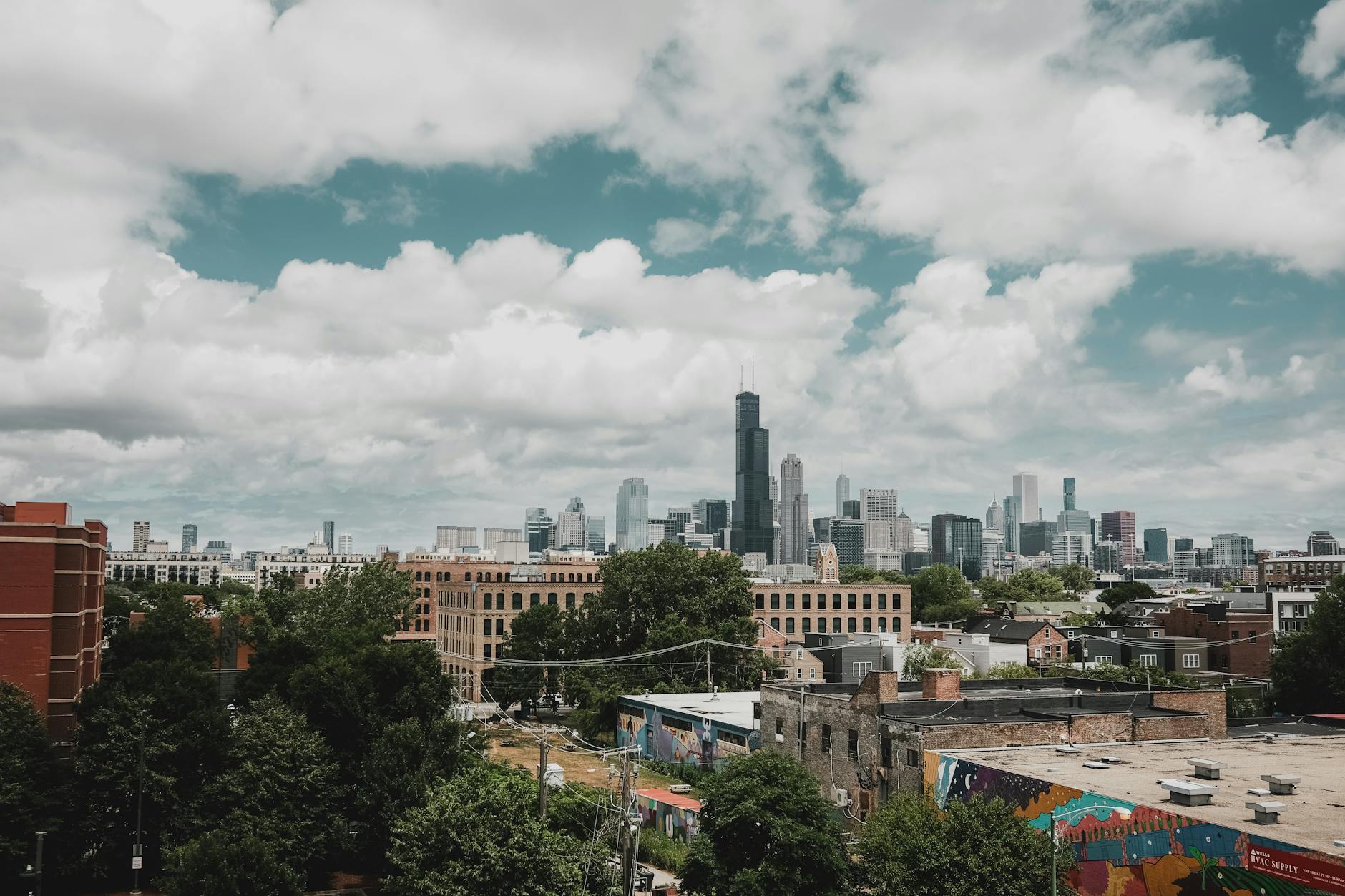
The A’s leaving means this big city has no pro teams within city limits. The region still has pro teams – the 49ers, Giants, Warriors, and Sharks – but none are located in a city that had teams in each of the four major leagues.

Imagining a car-free Los Angeles and using the coming Olympics to move that direction

The city of Carmageddon is interested in hosting a 2028 Summer Olympics with little car use:

Photo by KEHN HERMANO on Pexels.com

“A no-car Games,” she said.

Doubling down on something she discussed with The Times in April, Bass told reporters at the 2024 Paris Olympics that she envisions expanding public transportation to a point where fans can take trains and buses to dozens of sports venues, from Crypto.com Arena downtown to SoFi Stadium in Inglewood to the beaches of Santa Monica.

“That’s a feat in Los Angeles — we’ve always been in love with our cars,” she said at a news conference Saturday, adding that people “will have to take public transportation to get to all the venues.”

The LA28 organizing committee — a private group charged with staging the Games — prefers to say it is planning a “public-transit-first” Games. Some venues will have ample parking, others will not. Organizers say no one will be told they cannot drive to a competition, but public transportation might be an easier option.

This is a bold vision in a city and region famous for driving, highways, and sprawl. The realism is okay too; trying to do this all in 4 years is a tall task.

But why stop at the Olympics and that several week window? Why not imagine a Los Angeles in ten or twenty years that relies much less on cars? Why not pursue some of the same strategies – working from home, staggered work schedules, more buses – with additional strategies – more mass transit options that do not involve roads, ban planning that does not just keep adding lanes, etc.?

Even if these efforts require the long view and a large amount of resources, the time to start is now. Developing needed infrastructure is costly but pays off down the road. What if the lasting legacy of the Olympics in Los Angeles was not property or stadiums that people do not know what to do with (a common issue in recent Olympic cities) but a new approach to the streetscape and getting around?

Locating the geographic center of Chicago

A sign in the McKinley Park neighborhood supposedly marks the geographic center of Chicago. Just one problem: the center shifted several decades ago:

Photo by Pixabay on Pexels.com

In 1896, a Tribune article placed the city’s midpoint at West 37th and South Carlton. That address doesn’t exist today, but it’s pretty close to where the modern-day sign is. The discovery that the geographic center was essentially a cow pasture shocked the article’s writers…

The spot is no longer home to a pasture, but it’s still in a quiet, residential neighborhood about 5 miles from The Loop. Ald. Julia Ramirez (12th) said it’s special the sign is in a working-class neighborhood like McKinley Park…

But more than 20 years before outgoing Mayor Michael Bilandic presided over a 1979 ceremony declaring the intersection as the city’s geographic center, the city’s annexation of land for O’Hare International Airport had shifted the actual midpoint about 1.5 miles northwest. 

Now, the actual center is between Pilsen and McKinley Park: south of 31st and Western and in the water of the Chicago Sanitary and Ship Canal, according to WBEZ Chicago. 

Two thoughts in response:

  1. Geographic centers get relatively little love compared to population centers or social influence centers. Where there is more social, economic, and government activity is likely to be seen as more “central” even if it is not geographically central.
  2. This provides a reminder of the dimensions of the city of Chicago. The geographic center is pulled to this location by the city stretching further to the south than the north.

How about a sign at the true geographic center as well as retaining the sign at the acknowledged geographic center? They could coexist and mark the unique boundaries of the city over time. Imagine a walking trail of geographic centers throughout Chicago’s history.

Commemorating the portage that led to the creation and flourishing of Chicago

I recently visited the Chicago Portage National Historic Site in Lyons, Illinois. Here are some images from the site:

The importance of traveling via water meant that portage sites were important. This site was one of the places where it was easier to move watercraft from the Great Lakes system to the Mississippi River system. It was not the only portage site allowing that connection but it became known and then improved on in the mid-1800s with a canal.

The site now is somewhat obscured off a major local road and close to a major interstate. The area is mostly industrial land with few houses nearby. Chicago is a transportation center but a portage is no longer needed. There are still canal waterways nearby but these have receded in importance to and status in Chicago compared to railroads, highways, and airports. Chicago is still a transportation center but a portage is no longer needed.

The Chicago Portage Wikipedia page has lots of details.

Large wealth disparities in Chicago by race and ethnicity

A new report shows differences in wealth and assets by race and ethnicity in Chicago:

Photo by Airam Dato-on on Pexels.com

Disparities across groups are stark. According to the study, data collected in 2022 showed Chicago’s white families have the highest median net wealth ($210,000), while typical Black families report no wealth ($0). Chicago’s U.S.-born Mexican families have 19% ($40,500) of a typical white family’s wealth, while foreign-born Mexican families have 3% ($6,000) and Puerto Rican families have 11% ($24,000).

As for median asset values, Black families have $20,000, foreign-born Mexican families have $26,000 and white families have $325,500.

The study also found Black families had the lowest estimated rate of home ownership at 34%, while white families had the highest at 72%, reflecting the city’s historic discrimination against people of color through redlining, racial covenants, a lack of checking or savings accounts, and payday lending, where unsecured loans with high interest rates are used as emergency financing that keeps borrowers in a cycle of long-term debt.

The researchers asked people about possible interventions:

“The Color of Wealth in Chicago” study also surveyed people about potential policy proposals for addressing structural economic disparities. Data shows that public support for interventions on local and federal levels would have a meaningful impact on racial wealth inequities. Wealth-building options such as guaranteed income projects, a Medicare for All program, and baby bonds, which are government-issued trust accounts for newborns, garnered support from the bulk of respondents, including families at or above the median net worth.

Wealth matters because it affects all kinds of life chances, including where people live, access to education and medical care, and nearby jobs.

While these figures echo national patterns, Chicago (and the region) also has a particular history that contributed to these gaps. See a recent court settlement intended to help address public housing discrimination or efforts in nearby Evanston to provide reparations for housing or suburban discussions about who affordable housing is intended for. To assume that federal and/or state policies alone will address these disparities misses the potential to develop and harness local collective will and resources. Wasn’t this part of conversations about the legacy of former mayor Rahm Emanuel and whether his policies favored downtown or the whole city? Could the whole region come together to address these concerns (which are not just limited to the city of Chicago)? Wouldn’t addressing these disparities now help lead to a better future for more people?

One small community claims to be at the center of a hemisphere

If the Earth is roughly a sphere, is one point on its surface more at the center of things than others? One spot in Wisconsin makes note of its particular location:

Photo by Pixabay on Pexels.com

Venture west of Wausau, and you’ll find yourself meandering down a country road that leads to a point of global significance—a point where latitude and longitude find harmony at 45 degrees North and 90 degrees West.

Visualize yourself standing at this exact midpoint, not just in a geographical sense between the North Pole and the Equator, but also between the prime meridian and its direct opposite across the globe…

If you pulled out a map, you’d find yourself at the intersection of some of the world’s most important lines of navigation.

Of the four such points globally, Poniatowski’s slice of longitude and latitude is the only one that’s readily accessible.

The others?

They’re either swimming with the fishes in oceanic depths or hiding in landscapes far less hospitable…

The original marker was a humble signpost in a field, but today, thanks to generous community efforts, there stands a clear path, welcoming benches, and an official marker that stakes its claim in the ground.

Hmmm. As Wikipedia notes, “A prime meridian is an arbitrarily-chosen meridian (a line of longitude) in a geographic coordinate system at which longitude is defined to be 0°.” And the one prime meridian that won out affects this claim in Wisconsin.

While this claim is based on imposing coordinates on the surface of the planet, I wonder how people around the world would answer this question: “What do you consider to be the center of the world?” Would it be major cities, like New York City or Tokyo? Religious sites? Their homes or land? A natural spot?

Or it might be interesting to investigate which places claim to be at the center of things. A place could be at the geographic or social center of a country. Where are the center points of cities or regions? Is it more important to be at the geographic or social center (see this example from the United States)?

A big city as “sociological soup”

An economist writing about skyscrapers describes seeing New York City from the Empire State Building in a unique way:

Photo by Nextvoyage on Pexels.com

Together, the center becomes a chaotic yet controlled sociological soup: the mix of the mundane with the mighty. Looking down from the Empire State Building, I can see it all.

Is this a different version of the salad bowl metaphor for society (opposed to a melting pot)?

This reminds me of sociologist Robert Park calling the city a laboratory. Does suggesting it is a soup imply different things about the city?

I wonder if anyone has compiled a large or comprehensive list of metaphors for big cities. Given that they are relatively rare and in human history (a few large cities in the past not withstanding), what are frequent or unique images used to try to understand them? How many metaphors invoke food?

How to rank skylines – with Chicago finishing 3rd in the world

Architectural Digest has a new ranking of city skylines. Here is their methodology:

Photo by Pixabay on Pexels.com

The world’s most beautiful skylines are more than just collections of buildings placed close together: They’re the façades of entire cities, the front doors to many of the earth’s most vibrant metropolises. It’s these man-made horizons that often offer the first impression to visitors and imbue a sense of home to returning locals. But what exactly makes a beautiful skyline? One that is immediately recognizable? Those that are the most harmonious? The cities with the greatest number of individually striking buildings? The answer, is of course, some collection of all of the above. Like when discussing most aesthetic disciplines, visual examples are far more powerful than description will ever be. To that end, AD has rounded up 17 of the world’s most beautiful skylines, covering notable favorites like New York City and Shanghai as well as some lesser-known stunners that deserve more acclaim.

I do not know if it is better to simply make a subjective ranking or to have a pseudo-scientific ranking of weighted factors. As noted above, there are at least a few factors that could be considered. Here is what I might include:

  1. The most tall buildings. Would places with more tall skyscrapers automatically rank higher?
  2. The most lauded buildings. Does this come back to you particular architectural styles? Or the architects connected to them? Or the number of social media images with each building in them?
  3. The setting of the skyline. Does the view of the buildings include water or mountains or another impressive natural feature or other built features (the rankings above mention bridges)?
  4. The age of the skyscrapers. Does it matter if many of the buildings are older or if many are newer?
  5. The tourism connected to the skyline. Do people come to this place to see the skyline? Would someone go out of their way on a visit to try to take in the whole skyline?
  6. The opinions of a range of experts. What do they see as the best skylines? It could be interesting to see who is considered a skyline expert.

And among these possibilities, Chicago ranks #3. Here is the description:

Hugging the shores of Lake Michigan, Chicago is the third most populated city in the United States. The Midwest metropolis is made famous by many striking supertalls, such as Willis Tower, Vista Tower, and Marina City.

Several factors stand out: a setting on a vast body of water, a large population center, and multiple “striking supertalls.” Does Chicago get more points because of the number of tall buildings or the architects and styles connected to the skyscrapers or the longevity of the skyline or the tourism in the city?

The endless search for water in the (fictionalized) origin story of Los Angeles

The movie Chinatown highlights the ways acquiring water helped Los Angeles grow and hints at what may need to happen for the city and region to keep growing:

Photo by Soly Moses on Pexels.com

If Chinatown’s ending forces the audience to sit in a feeling of hopelessness, it should also disturb anyone invested in Los Angeles’s future. The history of water in 20th-century California was defined by mammoth feats of engineering and an enduring belief that someone like Mulholland would eventually come along and enable the impossible. Each new dam or aqueduct only guaranteed the arrival of the next one—the population growth allowed by Mulholland’s aqueduct, for example, later resulted in L.A. tapping other water sources, such as the Colorado River. California has had a few good years of rain recently, but the long-term sustainability of the state’s water supply depends on collective conservation efforts: drastically reducing the amount of water used by Big Agriculture, moderating suburban tasks such as watering lawns, regulating the state’s groundwater.

“There is no more water to capture with big projects. There just isn’t. The future is really about much smarter water management,” Stephanie Pincetl, a UCLA professor who specializes in urban policy and the environment, told me. Conservation measures, she argues, are the way forward even if politicians wish they could stump for some grand technological innovation the way their 20th-century predecessors did: “The approach to the 21st century has to be a lot more subtle, a lot more place-based, and a lot more guided by the realization that water is a scarce resource, and so we need to treat it like a scarce resource.”

Finding water in Los Angeles, the Southwest, the West, and the United States more broadly may become more paramount in the coming decades. Which cities and regions would do well in competing for water? Would a lack of water in some places lead to growing populations in places with plenty of water?

While we are at it, why not tell more exciting stories in these categories:

  1. Origin stories of modern places. Take any of the big cities in the United States and put its origin story in a movie or a miniseries. How about the rise of Phoenix?
  2. It would be interesting to popularize more stories about water and other necessary resources in daily life. How about a thrilling tale about concrete? It is hard to imagine modern life without out. Or air conditioning. Can’t have a lot of the global development of the last century without it. Or salt. Where do we get all this salt in our daily lives from?

If Chinatown can entertain and inform about place, why not engage in more storytelling that explains where places have come from and where they might be going?

“Phoenix is a guide to our future”

A new cover story in The Atlantic looks at Phoenix, Arizona and considers what the United States is and what it could be:

NASA Satellite Captures Super Bowl Cities – Phoenix [annotated] by NASA Goddard Photo and Video is licensed under CC-BY 2.0

The Valley is one of the fastest-growing regions in America, where a developer decided to put a city of the future on a piece of virgin desert miles from anything. At night, from the air, the Phoenix metroplex looks like a glittering alien craft that has landed where the Earth is flat and wide enough to host it. The street grids and subdivisions spreading across retired farmland end only when they’re stopped by the borders of a tribal reservation or the dark folds of mountains, some of them surrounded on all sides by sprawl.

Phoenix makes you keenly aware of human artifice—its ingenuity and its fragility. The American lust for new things and new ideas, good and bad ones, is most palpable here in the West, but the dynamo that generates all the microchip factories and battery plants and downtown high-rises and master-planned suburbs runs so high that it suggests its own oblivion. New Yorkers and Chicagoans don’t wonder how long their cities will go on existing, but in Phoenix in August, when the heat has broken 110 degrees for a month straight, the desert golf courses and urban freeways give this civilization an air of impermanence, like a mirage composed of sheer hubris, and a surprising number of inhabitants begin to brood on its disappearance.

Growth keeps coming at a furious pace, despite decades of drought, and despite political extremism that makes every election a crisis threatening violence. Democracy is also a fragile artifice. It depends less on tradition and law than on the shifting contents of individual skulls—belief, virtue, restraint. Its durability under natural and human stress is being put to an intense test in the Valley. And because a vision of vanishing now haunts the whole country, Phoenix is a guide to our future.

Several thoughts in response:

  1. How many Americans know Phoenix is the fifth-largest city in the country – growing from over 106,000 residents in 1950 to over 1.6 million today – and the tenth-largest metropolitan area?
  2. Like many American communities, Phoenix and the region depends on growth. More residents, more business activity, more infrastructure. What happens to Phoenix when/if growth slows? How would a mature region in 50 or 100 years look similar or different?
  3. The environment plays a role in Phoenix and the region. At the same time, Phoenix expanded at a particular point in American history, later than many big cities. How do these two factors intersect?
  4. How would urban sociologists think about Phoenix compared to other American cities and region? Is it more unusual or does it follow similar patterns to other sprawling regions? What marks Phoenix as unique? Do the same social, political, and economic factors propel the region or is there something different going on?