
The analysis of the 2020 election includes many analyses of suburban voters. But, there is more at stake here than just voting patterns as this look at Union County, North Carolina suggests:
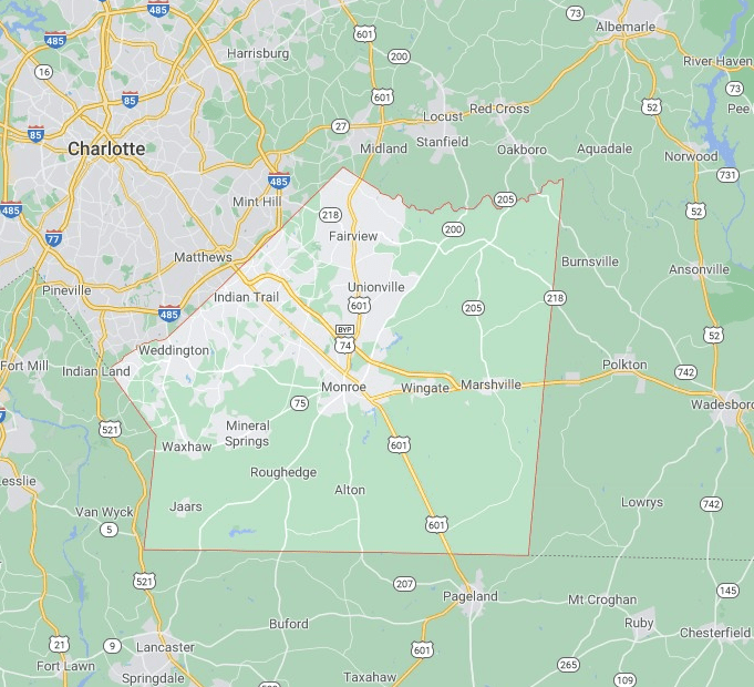
Union County is what one scholar terms a “countrypolitan” place: Under federal government designations, it lies within a metropolitan area, but it also has a strong rural and agricultural history. For the most part, it doesn’t look like a cookie-cutter suburb, nor is it impoverished. In fact, Union is North Carolina’s wealthiest county, according to the Census Bureau. There are places like it around the United States. They are distinct from rural areas, which are mostly Republican, and cities, which are heavily Democratic; many voters in these places are neither die-hard Trump fans nor urban liberals. That makes them pivotal counties, in 2020 and in the future.
Everyone agrees that Union County is changing. The question is how it’s changing, and how fast. There’s no doubt that Republicans will carry the county up and down the ticket this year—Carter, ensconced at East Frank, was the last Democratic presidential candidate to win here, back in 1980—but the GOP’s overall success in the state will hinge largely on how big a margin it is able to run up in exurban counties such as this one. Democrats’ control of inner-ring suburbs continues to strengthen, and the future of the Republican Party nationally depends on keeping firm control over places like Union County…
The reason Union County is changing is simple math. When Helms was born, about 4,000 people lived in Monroe. Today, nearly 36,000 do. Since 1990, the overall county population has almost tripled, from about 84,000 to roughly 240,000. As I traveled around the county, I began to notice something peculiar: Virtually everyone I talked with was a transplant. Some of them had moved only recently, and others had been around for 10 years, or 20…
“Union County when Jesse was in the Senate was a very rural county,” Wrenn says. “Now it’s got a big chunk of suburban in it. If the long-term trends continue, the Republicans are going to have to find a way to compete in the suburbs. It can be done, but you just have to change your whole way of thinking.”
The temptation in such stories about suburban voters is to look at counties and communities and just see political change. And it sounds like Union County has had its share comparing before the Civil Rights Era, after, and today.
The basic explanation for this recent change is new residents. The population has grown and new residents, not as familiar with the ways of Union County, have moved in. What was once a small population with low density is now much larger and in bigger cities and towns.
But, is this all that has changed: new people moved in and they came with some new political views? I suspect there is more going on here that both contributes to the political change and also exists outside of it. Here are a few possible factors at play:
- The suburbs and the spread of metropolitan areas are not just about increasing populations and higher population densities. The suburbs come with a particular way of life. People who seek out such locations want single-family homes, middle-class opportunities and peace for their family, responsive local government, and the ability to live in a place they chose with people who look more like them. This is different than a more rural or working-class character in communities. This desire for the American suburbs does not easily line up with either political party on all the issues but it certainly is a different way of life.
- The decline of agriculture, particularly family-owned farms and opportunities, could be at play here. As farming becomes more difficult or less desirable for subsequent generations, the land can be sold off and be turned into subdivisions. This is a significant change in land use as well as who lives there: farmers and those connected to agriculture versus middle-class suburbanites.
- Connected to #2, the economic landscape has changed tremendously in the last half-century or so, moving away not just from agriculture but also manufacturing and moving more toward retail, services, and a knowledge economy. Union County and many other locations in the United States are still trying to adapt to these large shifts that affect employment, tax bases, and local businesses.
- Numerous local institutions have likely had to adjust in light of growing populations. Schools need more space for kids. Local governments need to provide more services (and they might now have larger tax bases to draw on) and local officials are addressing new issues. Established churches now compete with new congregations. In sum, the civic and social institutions that may have existed for decades in roughly the same form now need to adapt. This can present challenges in any community.
In sum, this is not just about politics. A shift toward a suburban lifestyle in Union County has many consequences and politics may just be one of them.


