Record office vacancy rate in Chicago’s Loop

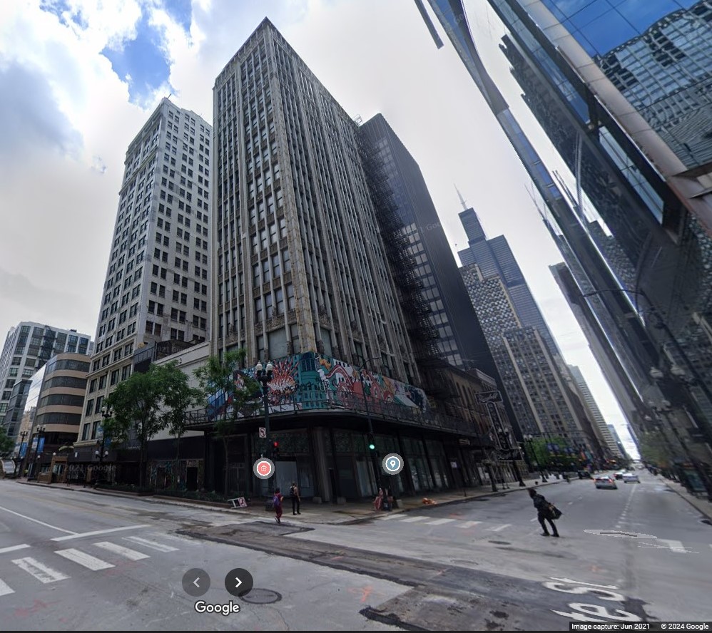
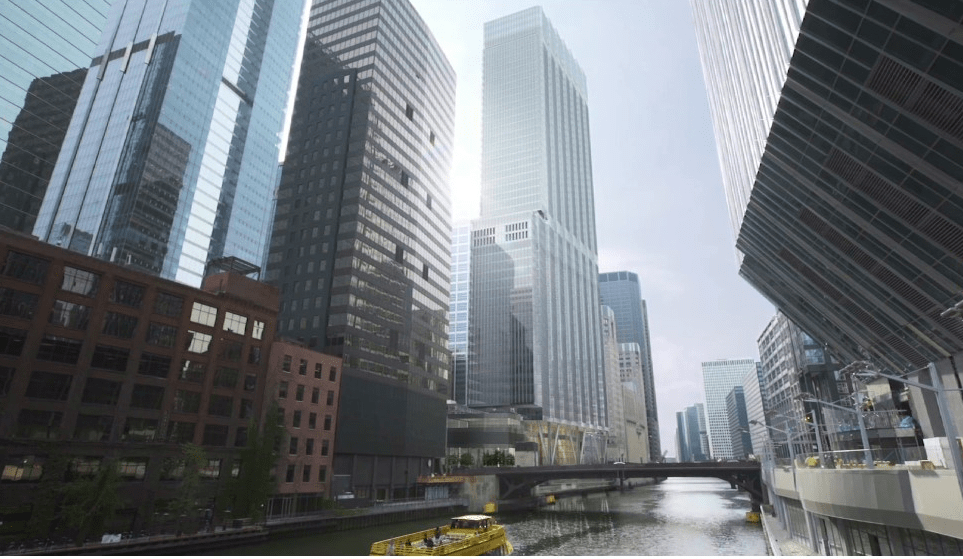
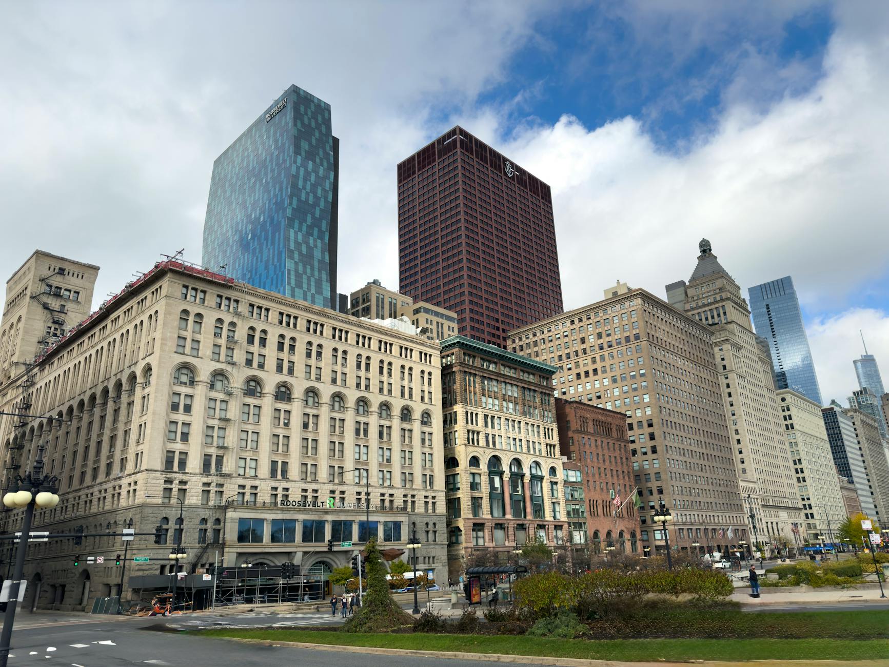
Over a quarter of the office space in Chicago’s Loop is empty:

Photo by Yusuf Mahammed on Pexels.com

The vacancy rate in the Loop was 24.7% in the second quarter of 2025 — a record high, according to research from commercial real estate firm Bradford Allen. That’s up 1.3% from the first quarter, and a 2.7% increase compared to the second quarter of 2024.

The firm said the second quarter was also one of the weakest periods for overall office demand since the beginning of 2024. Direct net absorption, a measure of space that’s been leased versus vacated over a period of time, hit negative 1.5 million square feet. That means more companies vacated than leased office space in the second quarter…

But it’s reassuring to see more foot traffic in the Loop, and he said more companies are requesting office tours for larger spaces, signaling strong interest in the Loop. He also said his firm is doing more office and retail deals downtown.

Leasing activity is starting to return after companies pulled back on signing larger leases during the pandemic. There’s a lot of larger tenants in the office market right now, and it feels promising, DeMoss said.

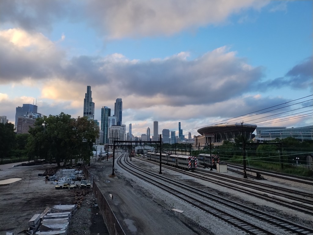
Each time I teach Urban Sociology, we consider the famous concentric circles map of Chicago produced by the Chicago School. At the middle of the map is the Loop, the central business district. For decades, it has been an economic center for the city. With its placement at the center, it represents the importance of economic activity in the big cities of today.

But what if the Loop became something else? The vacancy rate cited above suggests about one-quarter of the office space is empty. In a setting where there is a lot of office space overall, this adds up to a lot of space. What if this space was used differently?

This could be a shift toward more residential units in the Loop. Mixed-use development is popular in many places as it can help create a 24-hour vibrancy that can be lacking in places primarily consisting of office space used during workday hours.

But it could also mean a shift toward other land uses. More food and retail spaces? More recreational and cultural spaces? More community and municipal spaces? Less need for parking spaces?

While the record vacancy rate gets the headlines, it would be interesting to hear more about people and institutions that could help shape the future. What will the Loop be in 10 or 25 years and does this hint at shifts across many American cities?

The lingering reminders of the railroads that once marked Chicago’s lakefront

In its early history, Chicago’s shoreline with Lake Michigan was marked by railroad lines and activities. Trains pulled right up to the Chicago River, moving goods to the center of the city and its thriving port. You can see a late nineteenth century images of the lines of the Illinois Central right along the water here and here.

Today, it is harder to see evidence of the bustling railroad activity. The city still has sizable railyards and a large amount of railroad traffic. But it is now largely outside of the Loop and more railroad activity has been pushed to the edges of the metropolitan region.

I recently found a spot where an observer can still get a hint of the important railroad activity that marked the lakefront:

This passenger line comes into the central part of the city from the south and its station is underground. This angle gives a broader view of the tracks and the infrastructure needed to move trains and people.

The major cities of the United States, including Chicago, are still dependent on railroad lines. The average resident of a region may only travel via car and visitors from further away may primarily arrive via airplane but the railroad lines continue to deliver large amounts of goods and resources. Their presence may be less visible but keeping the trains running on time in and around cities still matters.

Office buildings empty, residential property taxes go up

What happens when the office buildings in Chicago’s Loop have more vacancies? Residents end up paying more in property taxes:

Photo by Burak The Weekender on Pexels.com

The pandemic left the heart of the Loop with vacant offices and stores as workers and customers stayed home, and more people began working remotely. Then, citing the impact of that lost business, the owners of those vacant offices won huge tax breaks from Cook County officials.

The amount of property taxes didn’t get smaller because those taxpayers were now paying less. The taxes were still needed to pay for government services and salaries. So others have had to pay more to make up for that shortfall.

On top of that shift, City Hall and other government agencies have been asking property owners to pay more taxes overall, with total property taxes in Chicago rising from $6.8 billion five years ago to $8.3 billion last year.

That’s a 22% increase in taxes citywide in those five years.

This is one reason municipal officials like thriving commercial and industrial sectors: they contribute to the property tax base of a community. When these properties are worth less, someone else has to pick up the slack. Homeowners do not like rapidly increasing property taxes, if they like property taxes at all.

For residential property owners, the issue is compounded for some because the value of residences has jumped in recent years. With limited new supply and consistent demand for good housing, property values have gone up. Homeowners like this – until property taxes also increase because their home values have increased.

Will residential property owners put up with this and, even if they do not like it, what recourse do they have? Does this mean cities and communities need to put on a full-court press to get office buildings filled or converted?

Where “downtown” is in Chicago traffic reports

Listen to or watch or read Chicago traffic reports and “downtown” is likely to come up. Here is what that refers to:

In Chicago, the downtown is like it is in the many big cities: it is the central business district, marked by skyscrapers and business activity. Downtown and the Loop – marked by mass transit lines – are pretty synonymous. The Loop is one of the city’s 77 community areas that have been defined for decades.

But the downtown referenced above is outside the Loop. It is across the Chicago River. It is marked not by financial matters but by the convergence of highways. It arose on top of existing neighborhoods. This is technically the Jane Byrne Interchange, a busy location where people are driving in and out of the city. Depending on traffic, it can take a while to get from this location to downtown.

While they are not the same place, this sounds very American: the center of the city is actually where the most vehicles meet. As so much day-to-day life involves driving, perhaps this is downtown for many.

Creating collaborative archives in historic skyscrapers

Finding new uses for two historic Chicago buildings slated for demolition led to an interesting proposal. First, the status of the buildings:

Image from June 2021, Google Street View

The U.S. General Services Administration released its final environmental impact report for the Century and Consumers buildings at 202 S. State St. and 220 S. State St., and also a smaller building between them, at 214 S. State St., ultimately choosing to reuse the vacant buildings rather than demolish them.

In 2022, Congress earmarked $52 million for the demolition of the buildings, with the federal government, which owns the buildings, arguing the buildings pose a security risk to the U.S. courts. The buildings back up against the Dirksen Federal Building on Dearborn Street.

Second, here is a proposed use for the buildings:

Preservation Chicago at one point had lined up 20 religious orders, including Dominican University in River Forest, that are interested in converting the Century and Consumers buildings, 202 and 220 S. State St., into the proposed Chicago Collaborative Archive Center.

Museums and other non-religious entities could have space there also, said Preservation Chicago Executive Director Ward Miller.

Those advocating to save them in this manner also argue that archival storage would minimize any security threat and allow windows facing the federal building to be sealed off.

“A collaborative archive of this proposed size is rare in the country,” Christopher Allison, a historian and director of the McGreal Center at Dominican University in River Forest had said in 2022. “It would become a major hub for archive-based research and would consolidate precious sources in one space.”

While some might see the potential for real estate redevelopment on prime Loop property or hold security concerns, having spent some time in smaller archives, this sounds like a win for archives and researchers. I can imagine some benefits of taking multiple smaller archives and putting them in one place. Efficiencies in storage and staffing. The ability to connect archival items and ideas in one place. Ease for researchers looking for material on related topics and in different collections. The possibilities of expanding collections with combined powers and status.

Plus, do archives and older buildings go well together? Archives can of course be newer settings and spaces designed for the task. Buildings designed specifically for archives could provide particular advantages. Yet, given the interest in some places in historic preservation and efforts to help people know and understand the past in archives, does putting them together regularly enhance the ethos of both?

Residential population in Chicago’s Loop has grown

A new population estimate in Chicago’s Loop suggests the number of residents increased in recent years:

The number of residents in the Loop — as the city’s central business district is known — grew by almost 9% since 2020, according to estimates from the Chicago Loop Alliance…

Population in the Loop, an area bounded by the Chicago River on the north and west sides, stands at 46,000, with the number of residents expected to grow another 17% by 2028, the group estimates. About 95% of residential properties are occupied, up from the pandemic low of 87%, and a rate that exceeds 2019 levels…

Most of the Loop’s population is 25 to 34 years old, with more than 80% living alone or with one person. Almost half don’t own a car and the majority cite the ability to walk to places, the central location and proximity to work as top reasons for living downtown…

The future of the Loop will also be more residential. Another 5,000 housing units are expected to be added by 2028, bringing the district’s total population to 54,000, according to the report. The estimates assume the global economy avoids a major recession, that the cost of building doesn’t become prohibitive and that city incentives to convert commercial blocks into homes move forward. Crime, rising property taxes and developments elsewhere are also threats to the forecast.

It will be interesting to see if and how this trend continues. Does this mean office space converted into residences? New development in the Loop where there are city-wide political battles on where development should be encouraged? Population growth in one part of the city while the population drops elsewhere?

Regardless of the larger context of what has happened in the Loop in the last few years, I am guessing this data point will be used to support development and civic plans.

Opening a 56-story Chicago office building during COVID-19

The new Bank of America office building, 816 feet tall and 56-stories along the Chicago River, is ready for business. But, COVID-19 is around…

From film at https://110northwacker.com/

The lead tenant, Charlotte, N.C.-based Bank of America, expected to have more than 2,600 people working on its 17 floors of the 56-story tower. But fewer than 200 work there now, according to company spokeswoman Diane Wagner…

By drastically reducing the number of columns that come to the ground, this structural tour de force allows the tower’s caissons to reach bedrock without hitting the remaining caissons of the old Morton Salt building. It also opens up the riverwalk, which would have felt constricted had it been hidden behind a row of columns.

To some, the arrangement may appear unstable. But new section of riverwalk, with its long, curving benches and still-to-be-planted greenery, is among the strongest contributions the tower makes to the public realm. It will not become a windblown cavern, the architects assure…

With COVID-19 still a significant threat, the developers have put several safeguards in place, including walk-through temperature scanning in the lobby, antimicrobial cladding on the building’s entry doors and upgraded air filtration systems. Tenants can swipe their smartphones on high-tech turnstiles that call an elevator. There’s also none of the welcoming seating that animated other downtown office building lobbies before the pandemic struck.

It sounds like the pandemic has effects on two major features of the building:

  1. The interior will not be functioning as it was designed for a while. This building has a lot of office space; will it ever be fully filled after COVID-19 passes and businesses reckon with shifts to working from home? We have not heard much about what it is like to work in such conditions – a relatively empty building – nor do we know how building owners and developers plan to use office space if they cannot attract firms.
  2. The excerpt above describes how the building interacts with the surrounding environment. It sounds good. But, how does it look and/or function when the typical street life of the Loop is not present? Can aesthetics overcome a lack of social interaction? When will the building fully participate in regular urban life?

Since this is not the only large downtown building under construction in Chicago, let alone in large American cities, it will be fascinating to see what comes of these structures. Will they be regarded as the last of the big central office buildings in a decentralized work landscape or will they be brave attempts to do business as normal or do they represent a new wave of exciting buildings that mark a post COVID-19 era?

The 21 remaining post-Chicago Fire buildings in The Loop

Gabriel Michael has a list of all the buildings in Chicago’s Loop that were built after the 1871 Chicago Fire:

Within Chicago’s Loop neighborhood, among the urban canyons of soaring glass & steel office buildings, there is a unique and rare collection of architecture: the commercial buildings erected in the aftermath of the Great Chicago Fire. These are commonly referred to as the “Post-Fire” era buildings, built from 1872 up until the advent of modern building materials and advanced construction techniques. These unprecedented approaches to commercial architecture facilitated the birth of the multi-story “skyscraper” in the early-mid 1880s, notably William Le Baron Jenney’s Home Insurance Building erected in 1883.

Post-Fire buildings’ architectural style is typically Italianate in varying degrees, and virtually identical to those destroyed in the fire. This is significant as it aesthetically forms a portal to the look of the “Pre-Fire” downtown Chicago building stock before it was completely obliterated. Functionally, the majority of the buildings served as wholesale commercial lofts, with each floor housing a different manufacturer of products appropriate for the era: leather goods, textiles, household amenities like pianos, steam heaters and boilers, and iron & woodworking machinery…

According to City of Chicago’s Landmarks Commission surveys, 75 of these buildings still remained in 1975. Fourteen years later, a new survey was done (prompted by the highly controversial “un-landmarking” and demolition of the McCarthy Building for Block 37 development) and showed less than 25 remaining: a staggering number of 50 had been demolished in just a decade and a half, during the “dark ages” of decay in Chicago’s downtown area. These occurred even with growing historic preservation awareness and municipal measures and ordinances in place to “protect” Chicago’s vulnerable historic architecture. Twenty-five years later in 2015, I have been able to identify 21 surviving buildings, displayed in the map below.

Of these 21, only 10 are recognized and protected as Chicago Landmarks. Some of the other 11 are “orange-rated” (or recognized as “historically significant” in the Chicago Landmarks Historic Resources Survey [CHRS]), and a handful are not even “buildings” proper, but preserved façades with the original building demolished in recent redevelopment on the site. The rest hold no historic recognition, or even inclusion in the CHRS for unknown reasons.

The piece ends with a call for preserving more of these buildings. It would be interesting to have a broader discussion in Chicago regarding this: how many leaders and residents would support such preservation? Is Chicago so committed to economic and residential growth in the Loop that some of these buildings could be “sacrificed”? On the other hand, the preservationists could make a public case for why going beyond these 10 protected buildings is necessary. And would it be better to make a case one by one for the remaining buildings or to argue for all of them at once? Of course, the process of preserving buildings doesn’t just rest on the merits of individual structures but involves a social and political process.

The case for connecting Chicago’s airports with a rail line

The Active Transportation Alliance argues for a rail line connecting O’Hare Airport and Midway Airport:

Imagine if you could get from Midway to O’Hare in less than 40 minutes on public transit.

Currently, that trip takes well over an hour and involves transferring from the Orange to the Blue Line in the Loop before coming all the way back west towards O’Hare. Building the Airport Connector Express, one of 10 expansion projects in our Transit Future vision, could cut the travel time between Chicago’s two airports in half…

The benefit to business travelers and tourists looking to transfer flights is the most obvious benefit of the project, but definitely not the only one. Even more importantly, the line would connect communities across western Cook County to the two major job centers, greatly boosting job access and opportunities for many working class families. It could also reduce traffic congestion on highways and major arterial streets as more people choose to ride transit as it becomes a more convenient option…

These communities and many others like them are not well served by the current hub-and-spoke model of the region’s transit system. Some are connected to downtown by suburban Metra service but we know not all jobs are located downtown.

This should have happened years ago as these are two of the busiest airports in the United States. I can imagine three reasons why it has not happened:

1. Money. Who is going to pay for it? What would the revenues be from passengers using it? However, I don’t think this is the primary reason. Given the projections of economic growth that are sometimes trotted out for other projects, I bet this could be justified (particularly if you account for reduced traffic).

2. For various reasons, the Chicago area has been slow to build mass transit lines to connect the spokes of the hub-and-spoke train model that arose first with railroads in the mid-1800s and then was reinforced with the CTA lines that converge in the Loop. The mass transit in the region suggests people primarily want to head downtown even as job centers have developed throughout the region including Oak Brook, Naperville, Schaumburg, and Northbrook. The highways are a little better; the Tri-State Tollway was one of the first highways to open and I-355 became the next ring out. However, I-355 doesn’t go all the way around (even its extension was limited and covers an area that was not yet very dense) and the proposed Fox Valley Expressway was never constructed.

3. Perhaps there are some issues to work out across these suburban communities. The majority of this proposed track would be outside Chicago city limits and cooperation from nearby suburbs is needed. But, suburbs don’t always agree on projects like these that could bring changes.

My first experience riding Chicago’s Divvy bikes

On a rare 50 degree Chicago day, I rode Chicago’s Divvy bikes for the first time. I made three relatively short trips: from Ogilvie Transportation Center to the Art Institute, from the Art Institute to Navy Pier, and from Navy Pier to Ogilvie. Here is evidence of my rides:

DivvyBikesChicago

My quick thoughts on the experience:

1. It is fairly easy to pay for and to get the bikes. It costs $7 for an all-day pass and rides under 30 minutes are free. There are lots of Divvy stations in the Loop so finding a stand near major attractions isn’t too hard. While it is a pain to have to wonder where other stations are when on the bike, I’m guessing $7 a day doesn’t cover a GPS with every bike.

2. The bikes themselves worked fine: big tires, nice fenders (otherwise I would have been quite splattered from all of the melting snow), good brakes, seats that are easy to adjust. The bikes only have three gears and this is limiting, but Chicago has a limited number of hills.

3. Riding near Millennium Park and Lake Michigan was easy. Riding in the Loop was not. I can handle it as I learned how to ride the mean streets of suburbia while a teenager (this may sound like a joke but we rode on a number of busy streets). Plus, traffic was pretty light in the middle of the day. However, I have a hard time imagining the average tourist wanting to do this. Some street have bike lanes but the only one I saw that was a protected lane was on Dearborn Street, a north-south street. Madison had a bike lane and I rode back to Ogilvie on Adams in the bike lane but both of these had plenty of double-parked taxis, cars, and buses. While drivers noticed me and took a wide berth, how tolerant would they be of slower groups of riders?

I would do this again, particularly in nice weather, as it is a different way to see the city and it can cut down on the time to get from attraction to attraction (less than 15 minutes biking from Navy Pier to the train). But, riding on busy streets is not for everyone and Chicago has a ways to go before having a street infrastructure that makes it easy for visitors to hop on bikes.