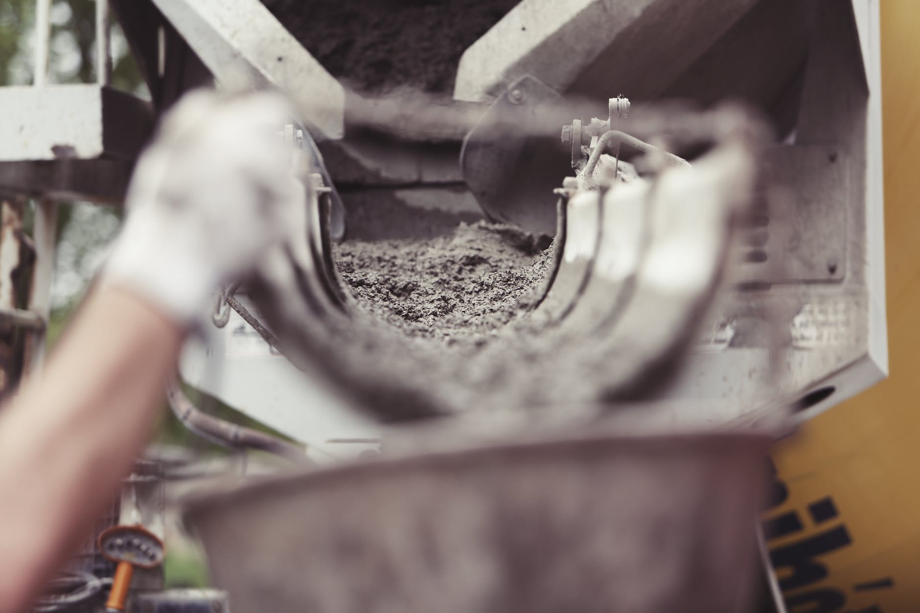
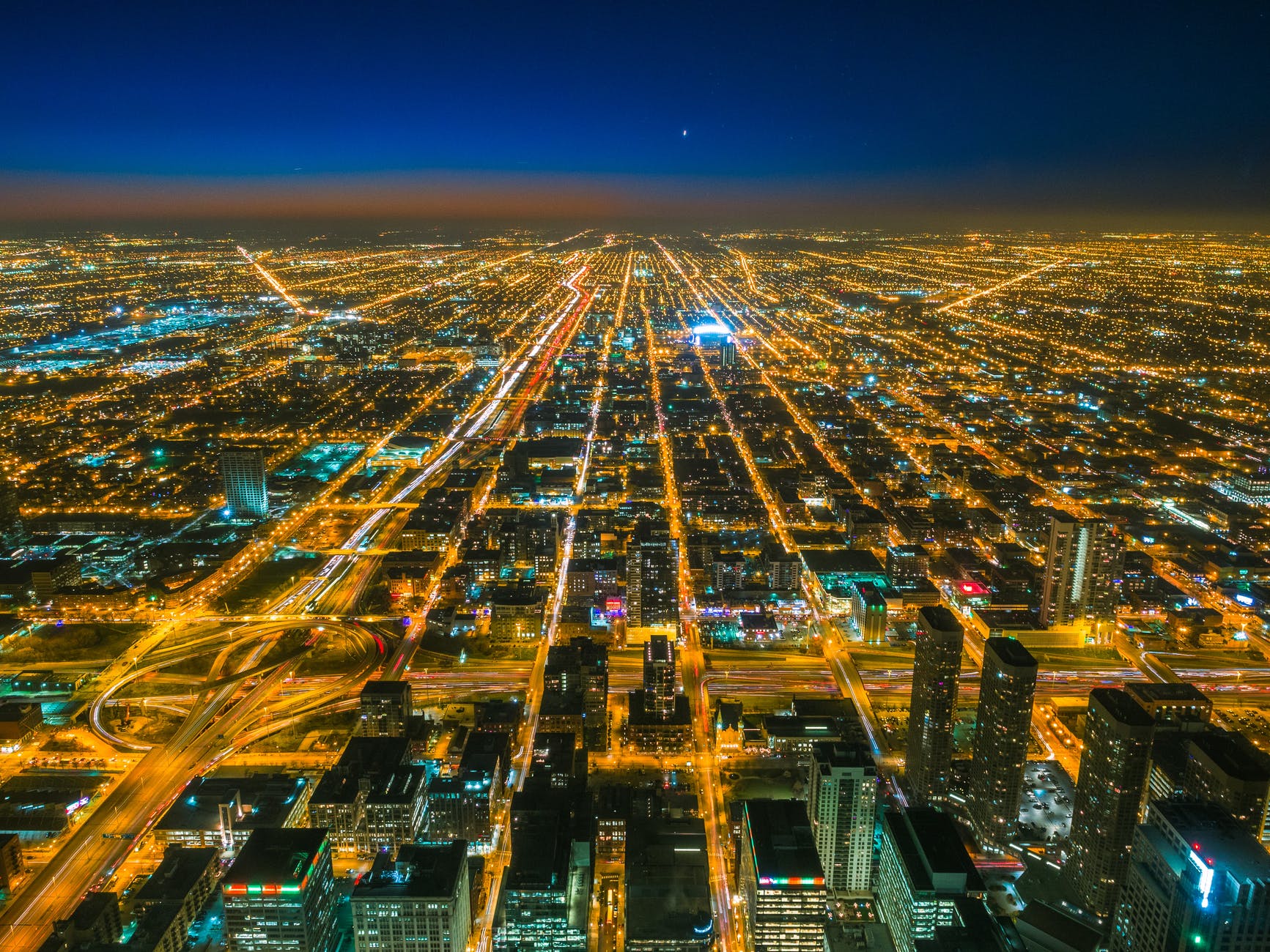
Illinois Department of Transportation engineers are promising a 50% improvement in traffic delays as the interminable Jane Byrne Interchange rebuild wraps up…
It’s estimated the redo could save more than $180 million hours annually in lost productivity from workers in traffic jams and result in a one-third reduction in greenhouse gases.
Can we start tracking this immediately and see if the promise is true?
At the same time, why not use similar metrics for all sorts of infrastructure projects? Infrastructure is needed for many areas of modern life to go well. Yet, people may not want to endure construction or costs. Promises like this at least fix a number on what people might experience as a positive outcome. And if the modeling is so difficult, does this mean that it might be hard to justify a big project? (I could imagine a different number that is also accurate but less negative: without this project, there will be this % of a negative outcome.)
I have no intention of ever driving on Interstate 35W (also known as one of the worst death-trap highways in the state) to go grocery shopping.
In the future, I hope the company might consider North Main in the new Panther Island complex, the Hemphill corridor, Berry Street, Eighth Ave, South Main, Rosedale Street, University Drive or even Lancaster Avenue, to jump start that area.
I talked with a few of my friends, and they have told me, no way are they driving to the far north to buy some taters.
How exactly do companies decide where to locate their stores? Generally, I imagine locating near a major highway is a good thing. That road can help bring customers and suppliers to and from the location. The new location is right near an existing Kroger (as well as other big box stores). The highway might enable more access than if located in a neighborhood with smaller nearby roads.
At the same time, there might be other areas that also would like to have a grocery store. How about in a denser or walkable neighborhood? Bunching a lot of retail options near the highway might not be terribly accessible for some.
The second matter involves which community the new store is in. The official address is in Fort Worth. However, it is quite a ways north of the center of the city. It is a block or so away from the Alliance Town Center mall. This might technically be Fort Worth but it is a sprawling location. (There is also the matter of the planned community of Alliance which includes part of multiple municipalities.)
This hints at the sprawling nature of some cities in the United States, particularly in the Sunbelt. Fort Worth is surrounded by suburban neighborhoods and roadways. Just a short drive from this store location and one is in another municipality as the city sprawls northward.
Let us see how the potential grocery shoppers respond to this new store. This is a sizable investment for a company and I am guessing they imagine a good probability of success.
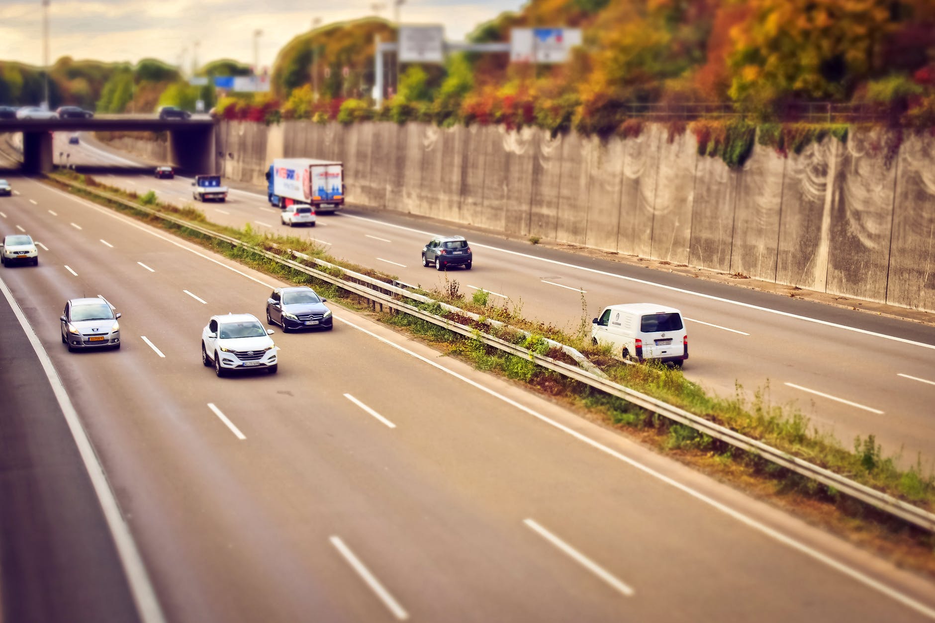
The recent traffic backups aren’t a mirage, say transportation officials. It’s really a perfect storm of ongoing construction projects occurring at nearly all points of the expressway system. This includes the Jane Byrne Interchange project, the behind schedule and over budget construction job that offers one of the worst choke points for congestion in the heart of downtown Chicago…
The last week in September saw some of the worst traffic in recent memory, thanks not only to the ongoing construction — including the start of three-weekend lane reductions on Interstate 57 to accommodate ramp patching and resurfacing — but also an emergency closure of the outbound Dan Ryan Expressway ramp to the outbound Stevenson Expressway that isn’t expected to completed until Sunday, according to IDOT…
Transit experts say that Chicago, which has some of the worst congestion of any American city, is also grappling with its return to normalcy following closures brought on by the pandemic. The added congestion comes at a time when many workers such as Cavanagh are returning to the office after two years of work-from-home protocols. Rider usage of transit systems such as the Chicago Transit Authority, Metra and Pace also haven’t yet returned to normal…
“In other words, drivers are making more trips, but they’re shorter trips on average,” Dan Ginsburg, TTWN’s director of operations said in an email.
So the old joke in Chicago, “there are two seasons: construction and winter,” rings true again?
But, this is a bigger issue than just construction. The infrastructure needs help. More people are driving. People live and work in different locations. Mass transit is not being used much. Mass transit does not necessarily reach where it needs to reach. People want to drive faster. There is a lot of freight and cargo moving through the region and so on.
This “perfect storm” could be an opportunity to ask how to address traffic and congestion throughout the city and region for the next few decades? How will this get any better?
The idea hit James Evans like an empty soda can, or maybe it was a discarded candy wrapper. Evans, an engineer for the Texas Department of Transportation, was driving one day in 1984 when he saw litter blowing out of the back of a pickup truck. Littering was a growing problem in Texas at the time, and while Evans knew that his department didn’t have the resources to combat it, he saw a prime opportunity to promote volunteerism. One year later, Billy Black, the public information officer for the Tyler District of the Texas Department of Transportation, collaborated with Evans and organized the first Adopt-a-Highway program.
How the Program Works
The program varies slightly by state, but volunteers typically apply to adopt at least two miles of highway for two years, and are responsible for cleaning that stretch at least four times per year. In return, the adopter’s name is recognized on a sign along that stretch of highway. The Adopt-a-Highway program saves taxpayers millions of dollars in cleanup costs and allows state governments to allocate transportation funds to other projects. The number of state employees devoted to highway cleanup and beautification has plunged since the advent of the Adopt-a-Highway program. A number of states, including New Hampshire, have Sponsor-a-Highway programs, where volunteers make donations to pay for maintenance crews to clean a stretch of highway in exchange for recognition on a sign…
The Adoption Movement Spreads
The Adopt-a-Highway program was a huge success in Texas and other states soon took notice. The program, or a variation thereof, eventually spread to all 50 states, as well as Puerto Rico, and several countries, including Australia, Japan and Spain. The most common adopters are civic groups and local businesses, though individuals occasionally adopt. Celebrities, including Bette Midler and Robin Williams, helped raise the profile of the program by adopting their own stretches of highway. Today, a handful of for-profit companies manage the sponsoring of highways by large companies looking for positive publicity and what amounts to advertising space on a small billboard.
The description above hints at the convergence of multiple forces: a growing environmental movement, efforts to encourage civic engagement and pride, looking for ways to cut government costs, and opportunities for some marketing.
But, this could be put simply: largely for free, Americans clean up highways. Groups and individuals take time out of their schedules to pick up garbage and debris. Americans love driving and the way of life it is tied up with so much that they clean the highways that enable quick travel via car. Adopt-a-highway works because Americans like highways so much.
Consider an alternative approach. Instead of cleaning up littering and criminalizing the practice, what about deemphasizing highways and major roadways and pursuing other forms of transportation and denser housing? This may seem like a difficult task but so is cleaning the tens of thousands of miles of highways, whether through paid employees or mobilizing volunteers all over.
The Times found that more than 200,000 people nationwide have lost their homes because of federal road projects during that time, and that some of the country’s largest recent highway expansions, including in California, have forced out residents in Black and Latino neighborhoods at disproportionately high rates. And that’s in addition to the more than 1 million people pushed out during the initial period of freeway building in the mid-20th century via routes that often targeted Black communities for demolition.
That is a lot of people moved just for highways. In addition to affecting particular groups at higher rates, highways broke through established neighborhoods with existing ways of life.
This does not mean highways are on the way out. However, it does mean that constructing a new highway or widening a highway in densely settled locations is not a foregone conclusion.
“The key is really getting trucks onto the interstate as safely and efficiently as possible,” said Patricia Mangano, senior transportation planner with the Chicago Metropolitan Agency for Planning.
As the county grows and the region continues to be an important national transportation hub, the study recommends strategies to minimize the negative impact of freight traffic to residents and the environment…
The report says that high volumes of truck traffic have led to safety and congestion concerns, especially in sensitive areas such as historic districts, neighborhoods or environmentally protected areas. The study notes western Will County’s natural and cultural assets, such as Midewin National Tallgrass Prairie, Abraham Lincoln National Cemetery and the Kankakee River, could be negatively affected by new development and traffic…
“We are the proverbial crossroads of America,” he said, noting residents just want to ensure they can get from work to home to their children’s activities without being caught in traffic.
Yet, certain industries do not necessarily mesh well with the suburban single-family home ideal. Trucks are related to a number of concerns residents have about all sorts of land uses: noise, traffic, lights, threats to the residential ideal they hope for.
I see the point of routing truck traffic along particular roads. This also has the effect of altering those roads. I can think of several major thoroughfares near here that are full of truck traffic during the day. Driving on these roads can be quite different than driving on other main roads. And because the way many suburban communities are laid out, there are often not good alternative routes since traffic in general is funneled from smaller residential streets to larger volume roads.
An impractical suggestion that might please suburban residents: have truck only roads that lead from industrial and commercial properties straight to highways. In many locations, this might work as warehouses and distribution centers are clustered together as are big box stores and shopping malls. On suburban roads without big trucks, suburbanites might occasionally find the opportunity to drive like people do in car commercials: on the open road.
After two day trips on a recent weekend, I thought of what happens when you drive on the same highways many times. While yesterday I considered what the familiarity with roads and sites allows, today I briefly discuss what a slightly different route might bring. Two examples come to mind.
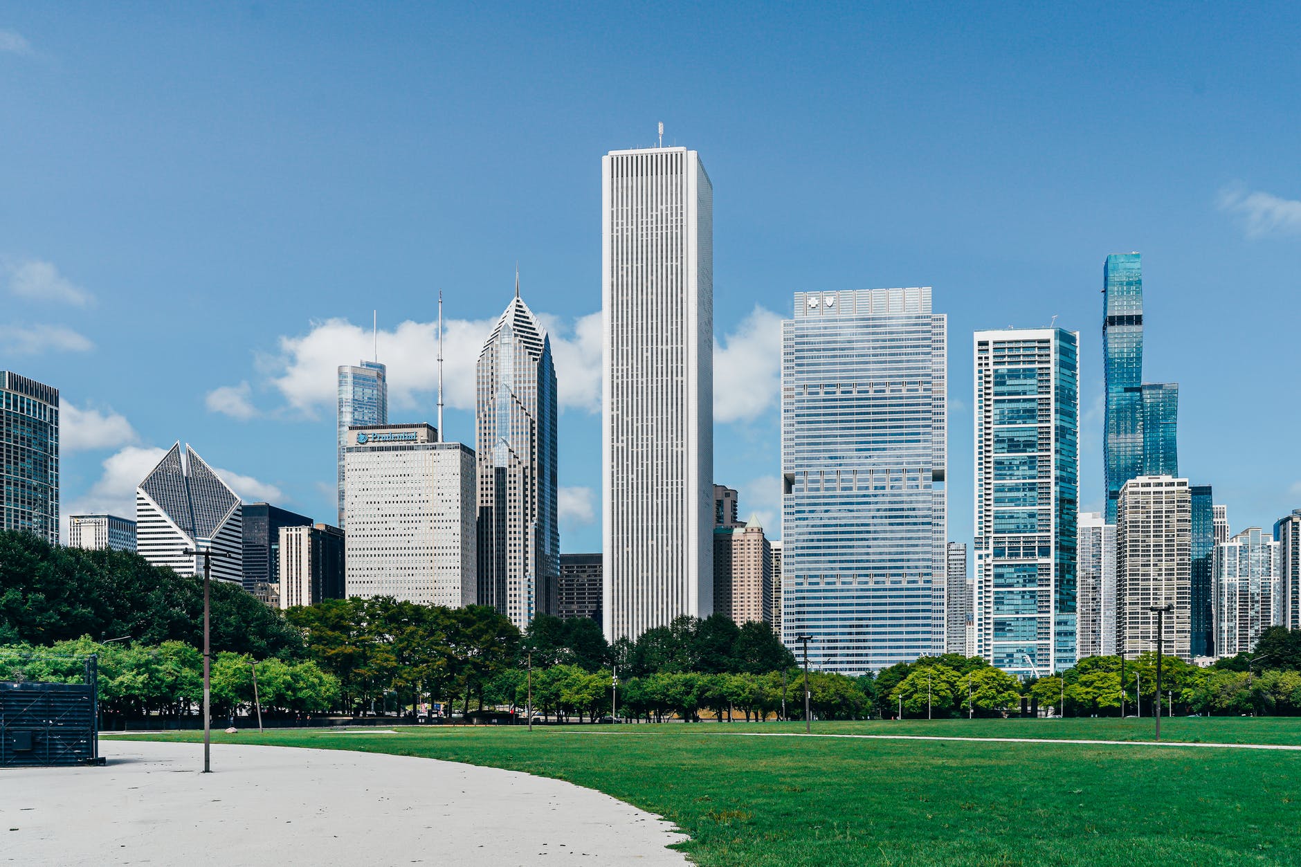
The first example comes from the way I have approached the city of Chicago. For most of my life, this involved traveling east on the Congress Expressway. This meant that we passed through particular suburbs and neighborhoods, saw the skyline from a particular angle, and were in a particular relationship to the sun.
With a move after college east of Chicago, for a while my driving angle to the city changed dramatically. Now we approached via the Skyway and then either the Dan Ryan or South Lake Shore Drive. We saw different parts of the suburbs and city, the skyline of the same buildings looked different, and then shone from a different spot. The similar sites appeared quite different from a different highway just miles away. Chicago from the south is a different place than Chicago from the west, even from a fast-moving car.
A second example. Interstate highways often offer the ability to go around population centers. This speeds up driving. The city off in the distance is reduced to a set of tall buildings and/or landmarks that can be viewed from a distance.
One time, we took the business route through a small big city instead of skirting around its edges. We ended up in the same place and it took a little more time but we had a very different view of the city. Now we could see strip malls and residences. The big buildings from the distance looked even bigger close up. There was a sense of human activity rather than whatever life can be observed at 70+ miles per hour.
Familiar highways present opportunities but they limit what can be seen. The same familiarity that can contribute to an enjoyable road trip stop drivers from new angles.
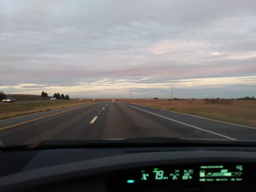
On a recent weekend, I made two separate day trips. Each sojourn required driving on highways in and out of the Chicago region that I have traveled on, either as passenger or driver, at least dozens of times. Because of its location and its transportation infrastructure, the Chicago area has numerous highways plus a good number of interesting locations within several hours.
One feature of such drives is the ability to go into a kind of travel autopilot. These roads are familiar. You know the sights. In the Midwestern landscape, there may be relatively variation in scenery.
To me, this eases the drive. Yes, hours may pass but you have done this before and you can get it through it again. On these routes, I have encountered clear skies, dark, rain, snow, and light traffic and heavy traffic. The drive is still roughly the same.
This may seem boring to some. What is the point of such a drive? Why not just go a lot faster and get there as soon as possible?
However, the familiar roads and scenery can open up room for other activities. Enjoying music is easier when the roads are familiar. So is good conversation or listening to an audiobook or doing some contemplating. Because what is going on outside the vehicle is not much of a distraction, many of the things that people celebrate about road trips are possible.
Tomorrow, what can happen when you are on a slightly different highway near what you thought were familiar locations.
Travel times have already returned mostly to normal on Chicago’s expressways, according to the Illinois Department of Transportation. On the Eisenhower, it’s taking drivers an average of 40 minutes to get from Wolf Road to the Jane Byrne Interchange during morning rush hour, compared with 32 minutes in June 2019. Drivers taking the Kennedy from downtown to O’Hare International Airport in the afternoon spent about an hour on the road in both June 2019 and 2021.
Who’s on the road might be changing, though. Truck traffic is up, and more people are working remotely. Among those heading out, more people who were taking public transit before the pandemic seem to be driving, IDOT spokesman Guy Tridgell said.
Imagine a post-COVID-19 traffic nightmare: trucks all over the place delivering goods as the economy continues to rebound. More cars on the roads because of fears about mass transit. People who were home for months and/or were used to less congestion on the road now stuck in worse traffic. Are there any good short and long-term solutions to addressing this while the mass transit efforts also continue?
That is why these three forgotten old News stories about Deep Ellum are so important. Almost unintentionally, they document what was really lost when I-345 was built. Sure, the neighborhood lost shops, hotels, and historic buildings. But the most significant loss was something more intangible. Call it memory, or character, or spirit. Call it a continuity of shared experience, or sense of identity shaped by the ebbs and flows of prosperity and decline.
Whatever you call it, that intangible quality is the real ingredient that makes cities and neighborhoods great. You can’t plan it or build it. You can’t fund it through philanthropy or market it in a tourism brochure. It isn’t “walkability” or “urbanism.” It takes generations to take shape. If you’re lucky, you capture it by carefully preserving all the beautifully ugly conditions that feed it life.
But if you lose it, it’s gone forever.
This helps explain the anger and protests in the last sixty years or so about highways bulldozing their way through urban neighborhoods. The particular form of highways – wide, noisy, made to help people speed through the community rather than visit or stop – and consequences – often bisecting lively places, erecting a barrier, destroying important structures, and furthering connections for wealthier and suburban residents at the expense of others – could be very detrimental.
More broadly, this hints at the delicate nature of neighborhood or community character. Change will happen but it matters how quickly the change happens, what form it takes, and who drives the process. Highways do not do well in these three metrics: they tend to go from bulldozing to construction to use within a few years, it is difficult to rebuild street life around it, and it is pushed on a community by others. Could highways support neighborhood character in any form? Perhaps not. But, it is a question asked not just of highways: the issue of character comes up with structures and development of a different form including denser housing among single-family homes, a major height differential such as a 20 story tall building in a community with a current max of five story buildings, or a new kind of land use. It could be easy to write off the concerns of local residents and leaders as NIMBY concerns but they may have a point in that new construction could change the character.
And, as noted above, the character of a place is vitally important. The people who live and work there have a particular understanding of what it is. When it is threatened by something as characterless as a highway, this can be particularly painful.