The name of the new movie Holland refers to the community in west Michigan. Numerous reviews note that the film says something about the suburbs. A few examples: first, from Variety:
Through it all, Macfadyen seems suspiciously good-natured, which merely encourages us to guess what he might be hiding. The “Succession” star brings a disconcerting Kevin Spacey-like energy to his performance, which reinforces the connection some might detect between “Holland” and 1999’s “American Beauty” — another movie about the toxic black mold that thrives just beneath the veneer of suburban perfection.
Second, from Roger-Ebert.com.
Kidman does her best to be the MVP of “Holland,” imbuing Nancy with just enough Midwestern nicety to make her memorable. Nancy is the kind of woman who wants to be a perfect wife and mother but also wants some mystery in her life and responds to the attraction of the handsome new teacher at her school. She’s a suburban shark, always swimming to a nearly impossible objective of keeping her pristine reputation in the community, holding her family together, and having a fling with Dave. While she doesn’t make any bad choices, there’s a version of “Holland” that lets Kidman loose, turning the temperature up on this character’s emotions in a manner that Cave feels tentative to do.
Third, from Mashable.com:
Watching Kidman play a happy homemaker in a pretty suburban town might swiftly recall Frank Oz’s underrated 2004 comedy remake of The Stepford Wives, which Kidman starred in.
You get the idea: the setting and the plot add up o a film that seems to say something about the American suburbs. This is familiar ground in American movies (as well as novels, TV shows, songs, and other cultural works)
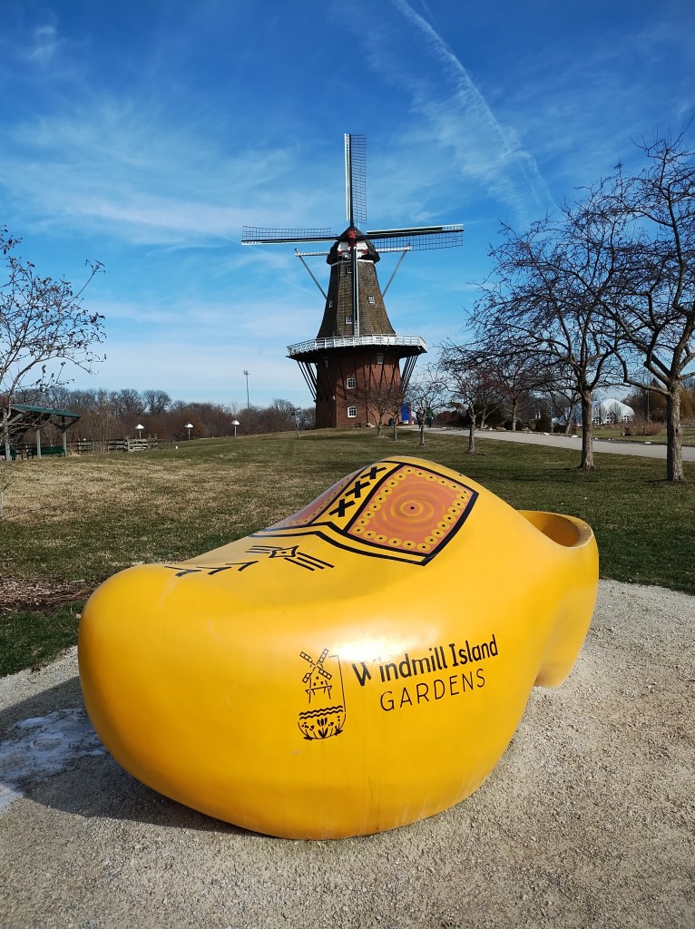
But is Holland, Michigan a suburb? Here is what Wikipedia says:
The city spans the Ottawa/Allegan county line, with 9.08 sq mi (23.52 km2) in Ottawa and the remaining 8.13 sq mi (21.06 km2) in Allegan. Holland is the largest city in both Ottawa and Allegan counties. The Ottawa County portion is part of the Grand Rapids metropolitan area, while the Allegan County portion anchors the Holland micropolitan statistical area, which is coextensive with Allegan County. The city is part of the larger Grand Rapids–Wyoming combined statistical area.
Since metropolitan areas have boundaries based on counties, it seems that part of the city is part of the suburbs of Grand Rapids, a city of nearly 200,000 people and a metropolitan area of over 1 million people. But a good portion of the city, home to over 37,000 residents, is also its own smaller urban area.
Do the people of Holland see themselves as suburbanites? How many commute to Grand Rapids and other parts of the region? Are there cultural and historical ties to Grand Rapids?
None of this may matter for putting together a film. Filming scenes in downtown Holland or within neighborhoods in the community may look suburban. How many people watching really want to have authentic places that match what is being described? (For example, once I have seen a few studio backlots, it is hard to unsee them.) If the movie is about the suburbs, who is to say it isn’t?