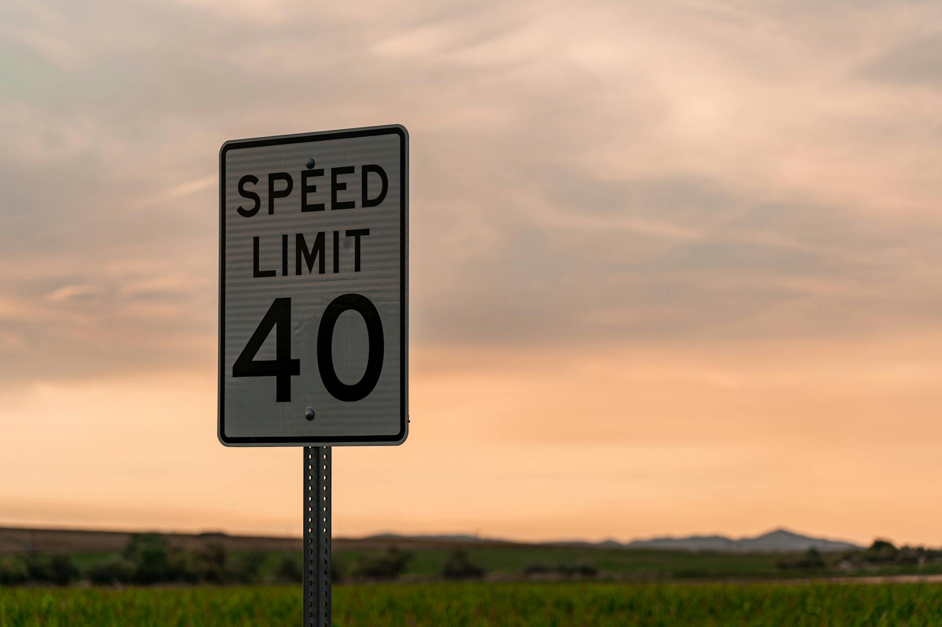
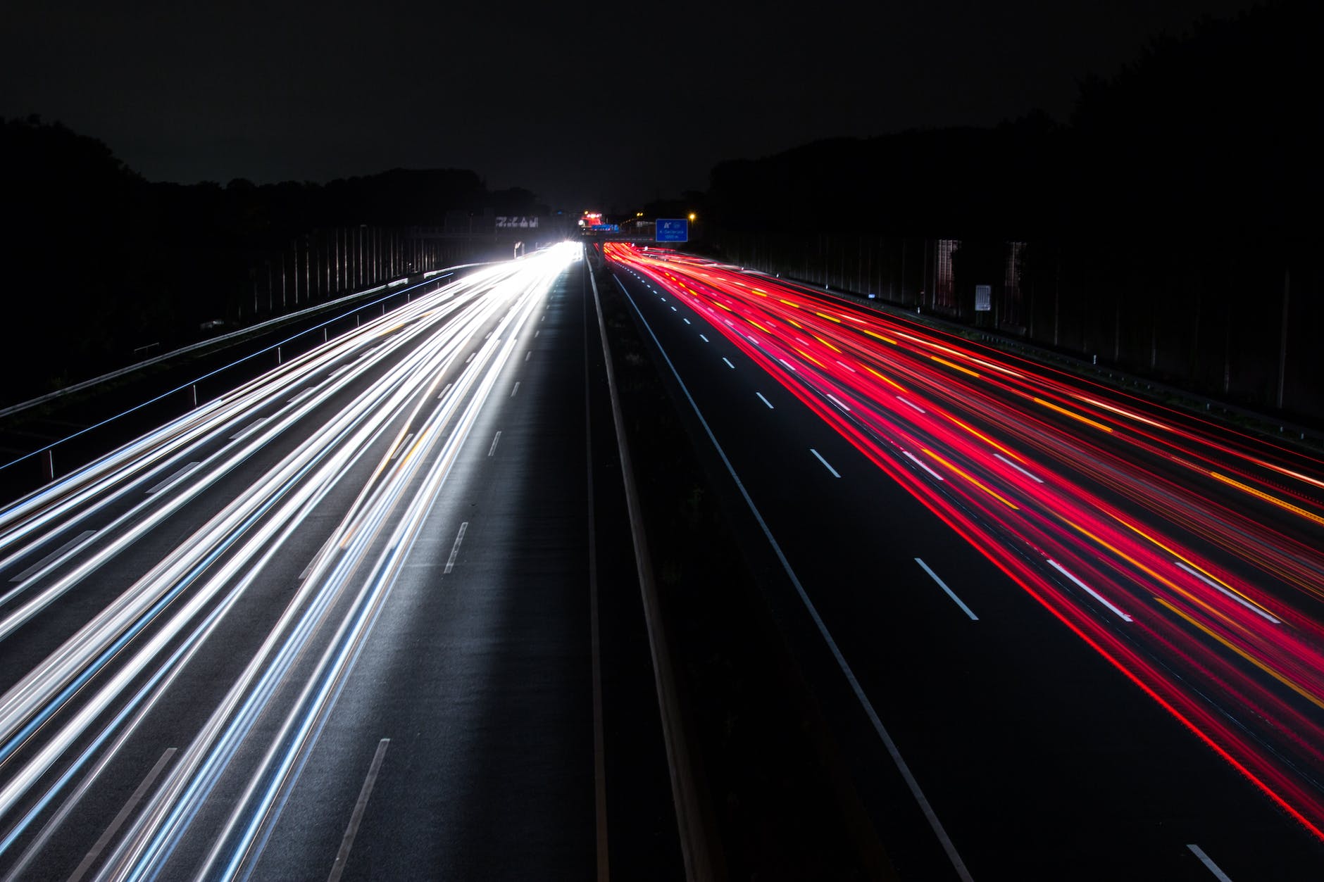
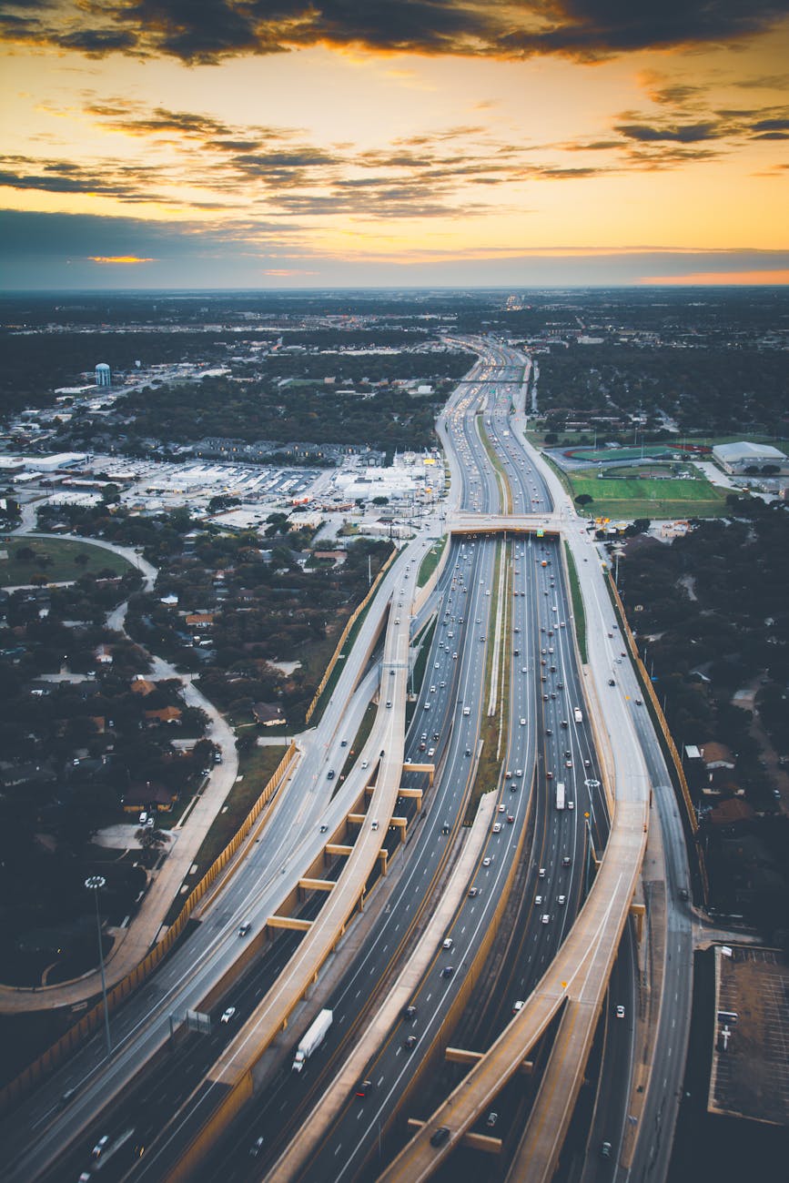
If mathematicians addressed traffic problems

How would mathematicians solve traffic? Here are the suggestions from a 2020 book:

Photo by Life Of Pix on Pexels.com

All drivers need to be on the same navigation system. Cars can only be efficiently rerouted if instructions come from one center hub. One navigation system rerouting some drivers does not solve traffic jams.

Parking bans. Many urban roads are too narrow and cannot be physically widened. Traffic-flow models can indicate where parking spots should be turned into lanes.

Green lanes. For cities that want to increase electric car use, special lanes should be created for electric cars, providing an incentive for their use.

Digital twins. Traffic demands and available infrastructure can only be balanced with digital modeling that creates an entire “twin” of existing roadways. The software will be “an extremely useful thought tool in the hands of transport engineers.”

I have not read the book and this description is not long but it seems to depend on both understanding current and possible traffic flows through modeling. Often, Americans typically get more lanes added to roads – which then tend to fill up because there is more capacity and/or populations continue to grow.

I wonder how modeling would fit with other values underlying road and traffic decisions. A few examples:

  1. It might be better to have a centralized traffic and navigation hub. Is this technically feasible, would all car makers want to participate, and would there be privacy concerns?
  2. The politics of providing special lanes, whether for electric cars or high occupancy vehicles or bicycles, can get interesting. Americans often think the roadway should be for all users as opposed to particular users.
  3. The road system we have is the result of not just prioritizing efficiency but a whole host of actors and forces that includes privileging single-family homes (and generally keeping them away from busy roads) and highways in and out of major cities.

Chicago truly has a grid

Looking at a map of Chicago or seeing it from above coming in and out of the local airports shows Chicago’s road network is a grid. A recent study examined just how much of a grid it is:

Photo by Benjamin Suter on Pexels.com

It is right to compare Chicago’s street network to something so obsessively exact. A recent academic study, “Urban spatial order: street network orientation, configuration, and entropy,” by Geoff Boeing, looked at the maps of 100 major world cities, and found that Chicago’s “exhibits the closest approximation of a single perfect grid.” Nowhere else have urban planners been so successful in imposing Euclidean order on natural surroundings. On a scale of 0 to 1, in which 1 is a perfect grid, Chicago scores 0.9. (The least-perfect grid is Charlotte, a Sunbelt city whose street system is more entropic than Rome or São Paulo.)

Why such a design?

The man hired to plat a town at the mouth of the Chicago River was James Thompson, a surveyor from Kaskaskia, and the father of the Chicago Grid. Illinois had already been divided into square townships and sections by the Northwest Ordinance of 1785. Since Thompson was subdividing a township section, he simply repeated that pattern in miniature when he designed Chicago’s first street map. It was less than half a square mile, bounded by Kinzie on the north, Washington on the south, Jefferson on the west and Dearborn on the east, but it was the template for a network that would eventually cover the 234 square miles of Chicago—and extend into suburbs beyond its borders…

Thompson’s grid was interrupted only by the river, and by established Native American trails which became diagonal streets: Elston, Clark, Milwaukee, Archer, Ogden. By 1869, the grid had become so integral to the city’s identity that the Tribune boasted, “There is no city where the opportunities for straight streets are so advantageous as in Chicago,” and demanded, “Give us straight, broad streets, running uninterruptedly from one extremity of the city to the other.”…

In our quest for orderliness, Chicago also has the advantage of being one of the flattest cities in the U.S., lying on a plain that was once the bottom of a proto-Great Lake. It would not be practical or possible to impose an uninterrupted grid on Pittsburgh or San Francisco, where streets wind sinuously around hills. As the study notes, “Boston features a grid in some neighborhoods like the Back Bay and South Boston, but they tend to not align with one another. Furthermore, the grids are not ubiquitous and Boston’s other streets wind in various directions, resulting from its age (old by American standards), terrain (relatively hilly), and historical annexation of various independent towns with their own pre-existing street networks.”

This sounds like a perfect storm of factors: a planner who applied methods from the Northwest Ordinance, a unique landscape that was flat and had only one waterway, and a quest for land development and profit with land that could be easily marked and developed.

Of course, this question of spatial order could be combined with consideration of how these different spatial orders are experienced. Do residents of Chicago and visitors have a better experience because of the grid or are cities, like Boston or San Francisco, with different spatial orders more interesting and vibrant? The grid has particular advantages for navigation but has less charm or uniqueness.

Parkway tree diversity in Naperville

The Naperville city logo prominently features a tree. And in replacing parkway trees lost to a tornado last month, the city is working with a number of species:

Photo by Domen Mirtiu010d Dolenec on Pexels.com

Residents are being given the option of choosing the type of tree they’d like planted in their home’s parkway. The only stipulation is the choice needs to be approved from Public Works’ forestry division, and anyone who doesn’t make a selection will be assigned a tree…

The city’s spring list of authorized trees includes the shingle oak, Kentucky coffee tree, Hackberry, hybrid elm, tulip tree, plane-tree, Japanese tree lilac, silver linden, chinquapin oak, crabapple, American linden, red oak, swamp white oak and heritage oak.

There’s also a list of tree species that never will be authorized by the city’s forestry division. Among those are the ailanthus or Tree of Heaven; evergreen conifers such as a pine, spruce or fir; any variety of ash; Hawthorns, unless they’re thornless; Bradford pears; pin oaks; box elders; poplars; willows; cottonwoods; silver maples; and elms, unless they’re disease resistant.

I presume such a list of approved species exists for multiple reasons. Having a variety of species helps prevent issues with diseases or insects that wipe out trees, like elms or ash trees. The shape, size, and foliage of certain trees is better for a parkway setting. Some trees are simply not desirable generally; a few months, I heard a speaker give a short digression on why they hate bradford pear trees.

This is not a choice that should be taken lightly. There is a section in James Howard Kunstler’s TED Talk “The Ghastly Tragedy of the Suburbs” where he discusses the multiple benefits of trees along streets. This includes providing shade and a canopy for the street and sidewalks as well as separating the street and its vehicles from the sidewalks. If done well, trees along a road create an inviting environment. If done poorly, the trees are too few, they die or are scraggly, and the roadway and pathways just look barren.

Involving public comment in a revision of the Manual for Uniform Traffic Control Devices

There is a federal government manual that guides decisions for transportation engineers regarding roads. While it is notable that it is going to be revised for the first time in eleven years, there is also a process for public comment:

Photo by Matheus Bertelli on Pexels.com

The Federal Highway Administration released a draft of proposed changes late last year. The last time the manual got an update, a few thousand people, mostly transportation professionals, submitted comments. This year, 26,000 comments poured in from all over the country.

Some arrived from big companies, including the ride-hail and mobility company Lyft, the Ford-owned scooter-share company Spin, and the Alphabet company Sidewalk Labs. Each asked for a major rewrite that would, as Sidewalk Labs put it, “more closely align with the equity, safety, and sustainability goals of American cities, as well as those of the Biden administration.”

Others came from individuals. “There’s a broader set of people who see that these streets don’t work, that there are too many people getting killed, that they’re too unpleasant. It’s not consistent with what a place or a community should be,” says Mike McGinn, a former mayor of Seattle and executive director of the group America Walks. He credits those everyday activists with the new interest in the design document—and his own group, which urged thousands of people to submit comments to the federal agency…

The last time the manual got an update, the process took more than a year; with the volume of comments this year, it may take longer. A spokesperson for the Federal Highway Administration says the agency “needs to carefully consider all comments before determining next steps and the timetable for updating the manual.” Given the interest, that might take a while.

One of the reasons Americans like local government is that it is easier to interact with the officials who are making the decisions. For example, in a small town to a moderately sized suburb, a resident who has feedback on a municipal decision can probably even convey this face-to-face or in a public meeting. As the size of the municipality grows, it becomes harder to meet with local officials.

At the federal level, some might feel that decisions are made by an abstract group of people in a place far away. This idea has been expressed regularly in recent years: Washington D.C. is out of touch with the rest of the country.

However, this process of public comment described above offers an opportunity for people around the United States to comment on federal guidelines for roads. In the age of the Internet and social media, this is even easier to do: people can hear about it through email or social media feeds and submit comments online.

How exactly the federal agencies in charge here work through all of these public comments would be interesting to examine. Assuming they are all read or analyzed, do they look for the most common themes? Or, are some comments weighted more than others? This sounds like an important qualitative research process in order to find the patterns in all of the comments, discuss, and then incorporate (or not) into a revised manual.

Taxing cars by miles driven already going in two states with more moving forward

With larger numbers of new kinds of cars using roadways, states are moving ahead to shift away from a gas tax to fund roads:

Photo by Markus Spiske on Pexels.com

The Oregon task force put the state at the forefront of the new approach, known as a road-user charge or a vehicle miles-traveled (VMT) tax. The state launched a voluntary program in 2015. Legislators in Salem are considering a bill that would make the program mandatory for new vehicles with a fuel economy rating of 30 miles per gallon or higher starting in 2026…

Utah’s program was launched last year and has enrolled more drivers than Oregon’s. A dozen states are considering legislation this year to update, launch or study programs, including California — where the governor wants to end sales of gas-powered cars by 2035 — and Wyoming…

Officials in Oregon say objections can be overcome as the public becomes more familiar with the new systems and research debunks concerns that some drivers, especially those in rural areas, will be disproportionately affected…

Oregon’s tax rate of 1.8 cents per mile is equivalent to the 36-cent gas tax paid by a vehicle that gets 20 miles per gallon. Someone driving about 11,500 miles a year would pay about $207. That leaves owners of hybrids paying more than they otherwise would. It would be a good deal for drivers of large SUVs or pickup trucks, but in 2019, the legislature limited enrollment of new vehicles to those that get at least 20 miles per gallon.

This has been years in the making; see earlier posts here and here. The gas tax will generate less revenue as states and carmakers move away from gasoline engines. Something will need to change.

How drivers respond will be interesting. Will this discourage driving? Move people more quickly or less quickly to new technologies? Encourage fleets of electric cars rather than individual ownership?

And the ripple effects are hard to anticipate. What does this do with the trucking industry which is responsible for delivering many critical goods? Does this lead to better maintained roads? Will this encourage more interest and funding for mass transit?

Or, the funding could smoothly transition over time and Americans continue their love of and support for driving. And this and others changing aspects of driving could simply change the whole experience of driving without eliminating driving, ranging from commuting patterns to visiting gas stations and fast food places to road trips.

The beauty of and danger to California’s Highway One

Over a decade ago, we planned a vacation that involved driving Highway One from San Francisco down the California coast. I had visited California several times before but had never driven this famous road. While our drive was relatively quick as we spent more time in urban centers, we enjoyed the scenery and the contrast of the roadway to typical straight Midwest roads.

With the recent washout in Big Sur, the need for constant reconstruction – and why – is interesting:

Highway 1 is a California spectacle, a Depression-era monument to the state’s quixotic ambitions and stunning beauty. It runs from the Orange County surf haven of Dana Point in the south into cannabis-cultivating Mendocino County, carrying heavy traffic over the Golden Gate Bridge and under the bluffs of Santa Monica, where it is better known as the Pacific Coast Highway, on its 650-mile route…

The engineering folly of a road built on sheer cliffs has meant that closures are annual events — the “whens,” not “ifs” — for the people and the economy it supports.

But the wild card now is the increasing frequency of wildfire along a roughly 100-mile stretch from William Randolph Hearst’s hilltop castle at San Simeon to Carmel, which is stripping fragile hillsides of stabilizing vegetation and causing more slides and more serious washouts across a region known broadly as Big Sur…

An even larger stretch of Highway 1 reopened in 2018 after a 14-month closure at Mud Creek about 20 miles south of here. The road was buried — not washed away, as in Rat Creek’s case — when the rocky ground above it gave way in hard rains.

This is one of the few times in my life where the road itself was a destination – and it was worth it. Keeping this corridor open is important even as it is a difficult stretch to maintain.

Limited solutions to ensuring more long green light stretches of suburban driving

After occasionally finding stretches of hitting all green lights on major suburban roadways, I wanted to consider how these experiences might become more common. Is it possible? Here are some strategies alongside my sense of whether these would help.

Photo by C. Cagnin on Pexels.com
  1. Synchronizing traffic lights. Los Angeles did this a few years ago to help traffic flow. As a kid, I recall sitting in the car in Chicago and hearing tell of how Clark Street on Chicago’s North Side was set up this way: follow the speed limit and a driver should hit multiple greens in a row. This could be harder to accomplish across a range of municipalities and the various traffic volumes intersecting with the main road. Additionally, this might not help much if there is just too much traffic on the road.
  2. Providing more lanes, more driving options. Americans tend to like this strategy: more lanes, more roads equals more space for vehicles, right? Research suggests otherwise: if you add road capacity, drivers will tend to fill that up. Americans like driving in the suburbs and this is not a long-term solution. In fact, road diets may be more helpful: reduce capacity and it pushes drivers toward other options. Furthermore, expanding roads in an already developed suburban area can get quite expensive and may be controversial.
  3. Encouraging more mass transit use, more walking and bicycling, and less driving. If there are simply too many cars, limiting trips would help ensure smoother driving experiences. All of these options are tough sells in the suburbs. It is hard to provide mass transit in a decentralized landscape and wealthier residents are unlikely to use it. Residential neighborhoods might be set up for biking and walking but connecting to other uses – grocery stores, schools, businesses – is often not possible or is dangerous.
  4. Having more employees work from home. This may be temporary due to COVID-19 but could be a long-term solution for traffic and congestion issues. Of course, there may be more people living in the suburbs due to COVID-19.

This suggests that there may be some short-term solutions but the bigger issue would take more time and effort: American suburbs are built around driving.

The magic of 10+ minutes of green lights on a major suburban road

I occasionally drive on major local suburban roadways. Think four lanes, direct north/south or east/west routes, speed limits of 35-45 mph, and lined with strip malls, fast food restaurants, gas stations, big box stores, and various other uses. Because of all of the traffic that wants to get on and off the road and because there are regulations about how to do this safely, such roads have regular traffic lights.

In the suburban road logic, these motorways are necessary to move larger volumes of traffic. Off these major roads are endless residential streets lined with single-family homes or small multi-family housing units. Traffic could cut through some of these neighborhoods but they have lower speed limits, narrower streets, and plenty of stop signs.

Occasionally, by finding the right time of day or the right position within the flow of traffic or finding the communities that have timed their traffic lights well, you can drive down such roads for ten-plus minutes without hitting a red light. It is smooth sailing. It is a slower but local highway. You can improve your gas mileage.

But, this is rare. During busier times, there may be too much traffic to get through each light. Late at night, the side streets might have sensors that turn their direction to green when just one car arrives. The drive becomes a series of stops and starts. Up to 40 mph, stop again, back up to 35 mpg, stop again.

Thus, when in the middle of a magical moment without stoplights impeding your path, enjoy it. Hear a few songs in a row while moving. Look at the communities as you go by. Marvel at the ground that can be covered when moving at the speed limit for more than a few minutes. Soon you will be back at a traffic light, waiting to get started again.

Returning to a traffic-filled world – or moving to reduce traffic in the future

With activity picking back up, traffic and driving is trending up. Will people go back to accepting the typical commute at just over 27 minutes one way? Or, will people get behind options that might reduce traffic?

Here are a few alternatives:

  1. More working from home would reduce traffic. This seems popular and limits the need for commuting. (Bonus: no one is changing roadways like some of the below options.)
  2. Closing streets to allow more space in cities could extend further. Indeed, cities have already tried this in small doses before COVID-19.
  3. Road diets try to limit the lanes available to drivers. Fewer lanes means more congestion which could discourage driving.
  4. Continuing to close major highways in urban areas (like Seoul and Seattle) and instead devoting the land to pedestrians, bicyclists, and local users.
  5. Promoting more mass transit options and/or coverage throughout regions.
  6. Providing more opportunities for pedestrians and bicyclists – or at least trying to keep them safe.
  7. Providing more housing close to jobs so that commutes do not have to be so long.

Americans like driving yet COVID-19 does provide an opportunity to rethink how much driving Americans do on a daily basis. Is this the system people want or is it more of what happened given American interests in suburbs and single-family homes?

The relatively narrow sidewalks in both cities and suburbs

With fewer cars on the roads, Tom Vanderbilt considers the possible size and role of sidewalks:

Even in a place such as New York City, sidewalks, as the architect John Massengale documented, have been shrunk over the years to make more space for cars. In my own neighborhood, many stretches of sidewalk are the bare minimum of five feet wide. This, per long-standing research, accommodates two pedestrians at once, but begins to fall apart at anything beyond that: two pedestrians encountering one walking in the opposite direction; a kid on a scooter; people stopping to chat. Making matters worse are sidewalk-shrinking obstructions such as trees, light poles, or, most egregious, traffic signs. That same street meanwhile, will dedicate more than 10 feet to an active vehicle-travel lane, as well as two additional lanes of parked vehicles—each larger than the sidewalk itself.

The larger question that Vanderbilt and others address is this: are cities made for cars or people? Is the goal of urban planning to move as many cars as efficiently as possible or to encourage a vibrant streetlife and pedestrian activity?

This also applies to the many residential and suburban areas of the United States. In recent weeks, I have thought about this in my residential neighborhood. There is little room for multiple people. The difference is starker when comparing the sidewalk to the nearby roadway, which easily accommodates two cars passing at 30 mph. And with the size of the residential sidewalk, this forces walkers, runners, and bicyclists either into the grass or, more recently with COVID-19, into the street so that everyone has enough space.

SidewalkResidential

I am guessing various actors would throw up some roadblocks regarding wider sidewalks in residential neighborhoods: they would be more costly to put down, they would take away land from yards, a wider sidewalk is less necessary in normal times (and the rate of sidewalk use does seem up in my locale). But, the way to counter this might be to suggest the sidewalk could expand while the street could shrink. Do we really need such wide residential streets? Would we rather make our neighborhoods more pleasant for cars or people? The American suburbs are tied up with cars and driving but this does not have to always require sacrifice from those who want to walk, run, and bike.